Trail Cycle Lauraguel - CCS FFC Aude en Pyrénées - Circuit n°07 - Lauraguel - Photo

CCS FFC Aude en Pyrénées - Circuit n°07 - Lauraguel

 tracegps
tracegps

User

© OpenStreetMap contributors
Length
Length
39 km
Max alt
Max alt
430 m
Uphill gradient
Uphill gradient
607 m
Km-Effort
Km-Effort  
47 km
Min alt
Min alt
163 m
Downhill gradient
Downhill gradient
607 m
Boucle
Boucle
Yes
Creation date :
2014-12-10 00:00:00.0
Updated on :
2014-12-10 00:00:00.0

(0 Reviews)

Cycle
Cycle
2h00
Difficulty : Medium

Scan this QR Code to open this trail in the SityTrail application

FREE GPS app for hiking

Logo SityTrail SityTrail

IGN / Geographical institutes

Download SityTrail from the App Store Download SityTrail from Google Play

Logo SityTrail SityTrail World

The world is yours!

Download SityTrail from the App Store Download SityTrail from Google Play Download SityTrail on Huawei AppGallery

About

Trail Cycle of 39 km to be discovered at Occitania, Aude, Lauraguel. This trail is proposed by tracegps.

Description

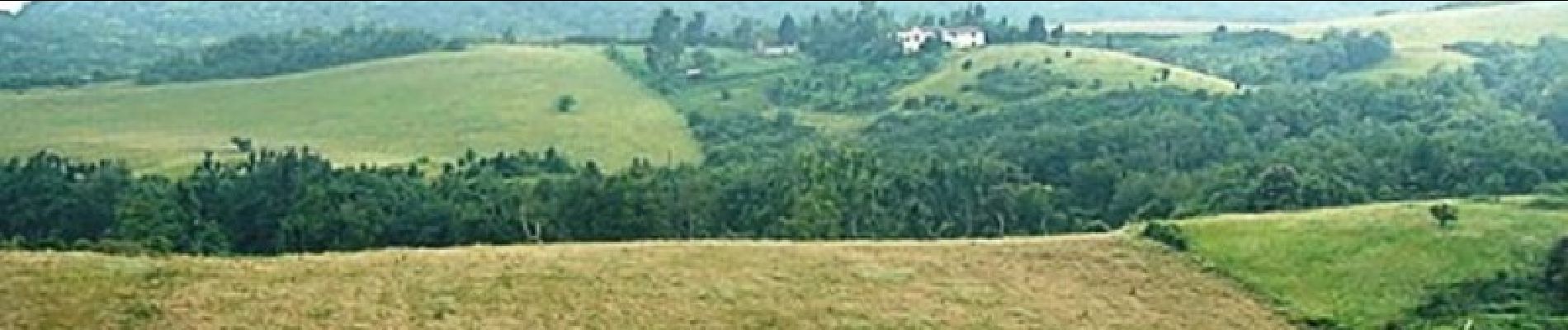
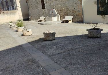
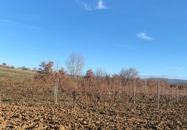
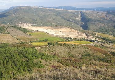
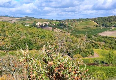
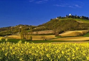
Située dans une zone de rencontre entre influence atlantique et méditerranéenne, la Malepère (Mala péira « mauvaise pierre » en occitan) représente un ensemble écologique intéressant avec la présence d'espèces végétales extrêmement diversifiées. Après avoir traversé Villarzel-du-Razès et avant de gravir le Pech du Mont Naut (422m) vous devrez affrontez la montée la plus difficile avant de descendre sur le village médiéval de Montréal et de rentrer doucement par les « circulades » de Cailhavel, Cailhau et Cambieure. Textes de Patrick Rault et Louis Mounié.

Elevation profile

Photos

Positioning

Country:
France
Region :
Occitania
Department/Province :
Aude
Municipality :
Lauraguel
Location:
Unknown
Start:(UTM)
432763 ; 4772042 (31T) N.

Trails nearby

Trail Walking Saint-Martin-de-Villereglan - rando saint Martin de villereglan - Photo
Walking
Mamilaure

Walking

Easy
(1)
Saint-Martin-de-Villereglan, Occitania, Aude, France
10.7 km | 13.5 km-effort
2h 23min
Yes
Trail Walking Limoux - Limoux- Ninaute- Mounnet - Photo
Walking
mikaou.t

Walking

Medium
(1)
Limoux, Occitania, Aude, France
10.9 km | 15.7 km-effort
3h 0min
Yes
Trail Walking Routier - Lauraguel  - Photo
Walking
Christophe Ferreres

Walking

Medium
Routier, Occitania, Aude, France
9.7 km | 11.1 km-effort
2h 19min
No
Trail Mountain bike Limoux - Limoux, toureille, croix st Pierre   - Photo
Mountain bike
schwarzy

Mountain bike

Difficult
Limoux, Occitania, Aude, France
30 km | 42 km-effort
4h 41min
Yes
Trail Walking Villarzel-du-Razès - Rec Grand - Villarzel du Razès - Photo
Walking
Taricot

Walking

Medium
Villarzel-du-Razès, Occitania, Aude, France
9.5 km | 12.6 km-effort
3h 0min
Yes
Trail Walking Villarzel-du-Razès - Rec Grand - Villarzel du Razès - Photo
Walking
tracegps

Walking

Medium
(1)
Villarzel-du-Razès, Occitania, Aude, France
9.5 km | 12.6 km-effort
3h 0min
Yes
Trail Walking Pauligne - pauligne, Cassagnau, Le Soulié, Pauligne - Photo
Walking
christinetondeur

Walking

Easy
Pauligne, Occitania, Aude, France
9.5 km | 12.1 km-effort
2h 39min
Yes
Trail Walking Pauligne - Pauligne,Malras,La Digne d'Amont, Ajac, Cassagnau - Photo
Walking
christinetondeur

Walking

Medium
(1)
Pauligne, Occitania, Aude, France
17.7 km | 24 km-effort
5h 28min
Yes
Trail Cycle Lauraguel - CCS FFC Aude en Pyrénées - Circuit n°08 - Lauraguel - Photo
Cycle
tracegps

Cycle

Difficult
Lauraguel, Occitania, Aude, France
86 km | 103 km-effort
4h 30min
Yes


Close
My subscriptions