


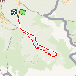


15.6 km | 27 km-effort


User


FREE GPS app for hiking
 SityTrail
IGN / Geographical institutes
SityTrail World
The world is yours!
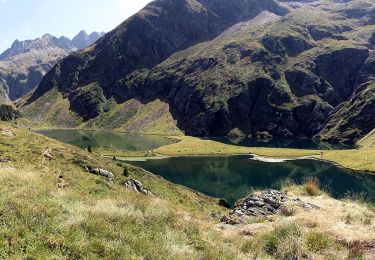
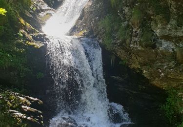
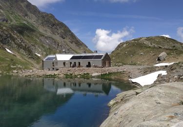
Trail Snowshoes of 12.7 km to be discovered at Occitania, Haute-Garonne, Bagnères-de-Luchon. This trail is proposed by tracegps.
Une randonnée raquettes en boucle pour aller à l'Hospice de France depuis Ravi en passant par la D125 pour monter et par l'ancien chemin dans la forêt pour redescendre.


Walking

Mountain bike

Walking
On foot
Walking
Walking
Walking
Walking
Walking