


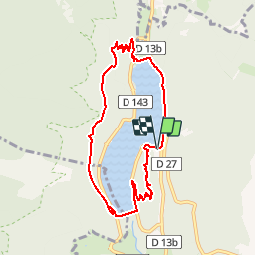


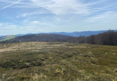
16.8 km | 27 km-effort

User


FREE GPS app for hiking
 SityTrail
IGN / Geographical institutes
SityTrail World
The world is yours!
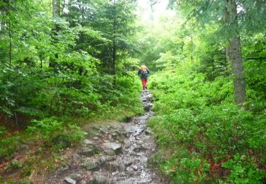
Trail Walking of 7.8 km to be discovered at Grand Est, Haut-Rhin, Kruth. This trail is proposed by tracegps.
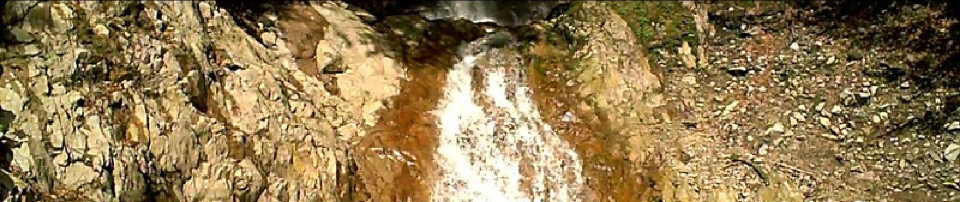
Le lac Kruth ou le lac de Kruth Wildenstein est situé en grande partie sur la commune de Kruth dans une ancienne vallée glacière orientée nord sud. Le lac Kruth est alimenté par la rivière Thur, longue de plus de 53 km de long avec un débit 6,32 m3/s. La rivière Thur naît sur le versant sud du Rainkopf à près de 1200 m d'altitude. Construit sur la Thur, le lac de Kruth est un lac artificiel construit de 1959 à 1963 pour réguler la rivière Thur et pour éviter les crues printanières parfois catastrophiques. Le barrage permet une retenue de 12 000 000 m3 d'eau avec une superficie de 81 ha. Le barrage est construit à 545 m d'altitude, côte maximale à pleine capacité. La longueur maximale du barrage est de 2 000 m pour une largeur d'environ 500 m. Sa plus grande profondeur atteint 35 m. La retenue du barrage mesure 255 m de long pour les 37 m de hauteur. Le sentier découverte du château du Schlossberg jalonné de 17 panneaux vous emmènera au sommet du Schlossberg à 670 m d'altitude par un circuit de 1,2 km et un dénivelé de 120 m pour y découvrir les ruines du château de Wildenstein. Le Parc Arbre Aventure propose des parcours dans les arbres pour tous les niveaux. Un parcours se poursuit par une Via Ferrata. Une tyrolienne sur 300 m de long traverse une partie de lac. Le lac de Kruth Wildenstein est un lac de première catégorie, la pêche y est ouverte du vendredi Saint à la mi octobre. L'auberge du lac délivre des permis journaliers. Sur le lac de Kruth la baignade est autorisée sans être surveillée. On peut y pratiquer la plongée sous marine. Plusieurs sentiers de randonnées balisées partent des abords du lac. Des itinéraires cyclables existent aussi. Le canoë et le pédalo peuvent aussi y être pratiqués.Sur la rive droite du lac de Kruth-Wildenstein, le torrent du Bockloch dévale la pente depuis le col du Bockloch. Le long de cette pente, il se jette par deux fois dans le vide avant de terminer sa course dans le lac. Bockloch pourrait être traduit par le trou du bouc. Balisage : anneau bleu – triangle rouge – croix bleu. Départ : Auberge du Lac à Kruth.


Walking
Walking
Walking

Walking
Walking
Walking

Walking

Walking
Walking
Belle balade, beau commentaire. Merci
Bon site, la recherche par lieu devrait être plus simple en rentrant simplement le nom et non emplacement sur la carte
kruth