Trail Cycle Troyes - Canal de la Haute Seine - Troyes - Photo

Canal de la Haute Seine - Troyes

 tracegps
tracegps

User

© OpenStreetMap contributors
Length
Length
61 km
Max alt
Max alt
116 m
Uphill gradient
Uphill gradient
348 m
Km-Effort
Km-Effort  
66 km
Min alt
Min alt
77 m
Downhill gradient
Downhill gradient
345 m
Boucle
Boucle
Yes
Creation date :
2014-12-10 00:00:00.0
Updated on :
2014-12-10 00:00:00.0

(0 Reviews)

Cycle
Cycle
2h30
Difficulty : Medium

Scan this QR Code to open this trail in the SityTrail application

FREE GPS app for hiking

Logo SityTrail SityTrail

IGN / Geographical institutes

Download SityTrail from the App Store Download SityTrail from Google Play

Logo SityTrail SityTrail World

The world is yours!

Download SityTrail from the App Store Download SityTrail from Google Play Download SityTrail on Huawei AppGallery

About

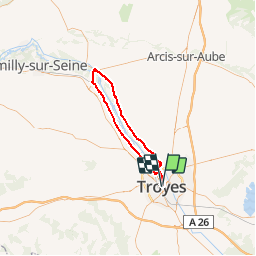
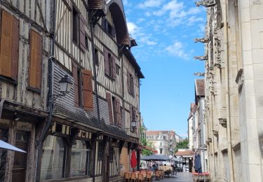
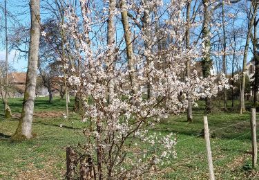
Trail Cycle of 61 km to be discovered at Grand Est, Aube, Troyes. This trail is proposed by tracegps.

Description

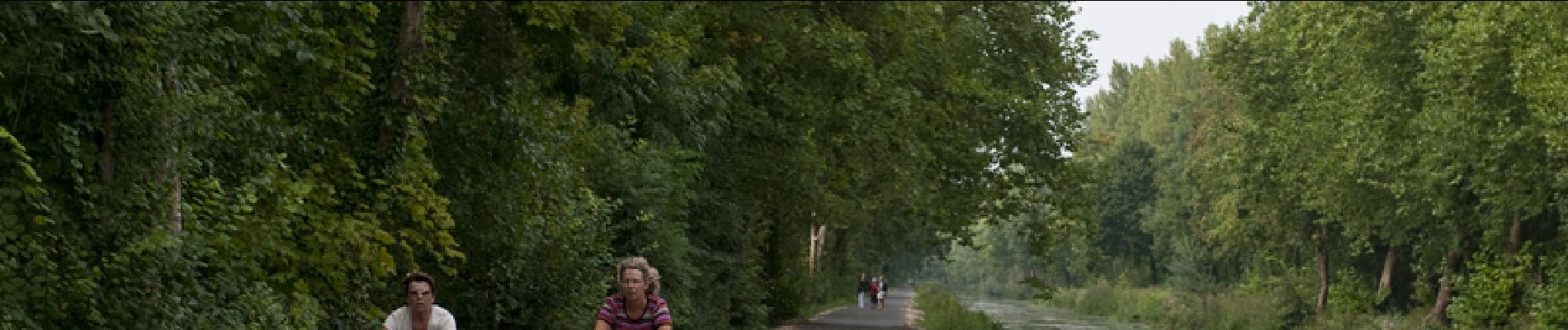
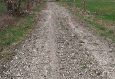
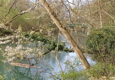
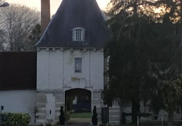
Proposé par le Comité Départemental du Tourisme de l'Aube, un circuit créé et validé par la Fédération Départementale du Cyclotourisme de l’Aube. Canal de la Haute Seine – 59 km - Canal de la Haute-Seine - Château de Droup-Saint-Basle - Musée Hugues de Payns - Eglise de Payns - Pont-canal de Barberey-Saint-Sulpice - Eglise de Ste maure, Savières

Elevation profile

Photos

Points of interest

Positioning

Country:
France
Region :
Grand Est
Department/Province :
Aube
Municipality :
Troyes
Location:
Unknown
Start:(UTM)
579713 ; 5349922 (31U) N.

Trails nearby

Trail Nordic walking Bréviandes - Breviandes cimetière 9-04 -30 - Photo
Nordic walking
martineaufrancois

Nordic walking

Very easy
(1)
Bréviandes, Grand Est, Aube, France
12.1 km | 13.1 km-effort
1h 8min
Yes
Trail Nordic walking Saint-André-les-Vergers - sortie Mercredi soir ECH - Photo
Nordic walking
LANDRE0774

Nordic walking

Easy
(1)
Saint-André-les-Vergers, Grand Est, Aube, France
8.8 km | 9.4 km-effort
1h 30min
Yes
Trail Walking Barberey-Saint-Sulpice - Barberey 20,5km le 15-03-2019 - Photo
Walking
francis1952

Walking

Easy
Barberey-Saint-Sulpice, Grand Est, Aube, France
20 km | 22 km-effort
4h 55min
Yes
Trail Walking Troyes - troyes - Photo
Walking
pistou

Walking

Medium
Troyes, Grand Est, Aube, France
6.7 km | 7.2 km-effort
3h 9min
Yes
Trail Walking Pont-Sainte-Marie - PSM Villacerf 22,5km - Photo
Walking
francis1952

Walking

Difficult
Pont-Sainte-Marie, Grand Est, Aube, France
23 km | 24 km-effort
4h 6min
Yes
Trail Walking Barberey-Saint-Sulpice - Barberey st Lyé Pont canal 17,3km - Photo
Walking
francis1952

Walking

Easy
Barberey-Saint-Sulpice, Grand Est, Aube, France
17.3 km | 18.5 km-effort
3h 21min
Yes
Trail Walking Bréviandes - Rosieres - Photo
Walking
FPortier

Walking

Very easy
Bréviandes, Grand Est, Aube, France
3.3 km | 3.5 km-effort
51min
No
Trail Walking Troyes - Troyes les 10 églises le 16/02/2020 - Photo
Walking
francis1952

Walking

Easy
Troyes, Grand Est, Aube, France
12.5 km | 13.6 km-effort
2h 42min
Yes
Trail Cycle Troyes - Les Côtes de Troyes en Champagne - Photo
Cycle
tracegps

Cycle

Medium
Troyes, Grand Est, Aube, France
57 km | 65 km-effort
3h 30min
Yes


Close
My subscriptions