


9.2 km | 14.2 km-effort


User


FREE GPS app for hiking
 SityTrail
IGN / Geographical institutes
SityTrail World
The world is yours!
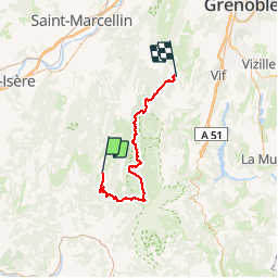
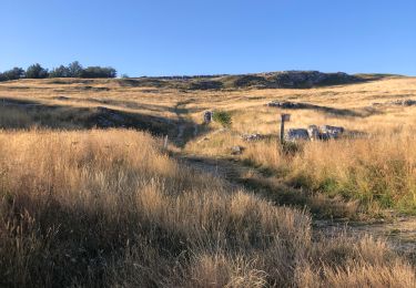
Trail Mountain bike of 64 km to be discovered at Auvergne-Rhône-Alpes, Drôme, Vassieux-en-Vercors. This trail is proposed by kipoura.
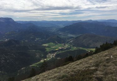
Deuxiéme jour d'une boucle VTT sur les haut plateaux du Vercors, retour vers Villard de Lans .... http://zevtt.free.fr
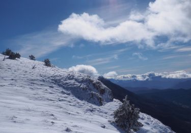
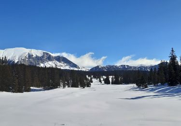
Snowshoes

Snowshoes
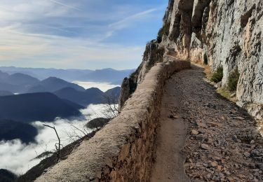
Walking
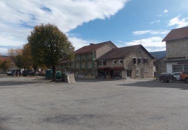
Walking
Walking
Walking

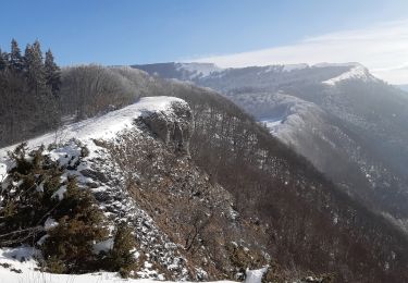
Snowshoes
Walking
Walking