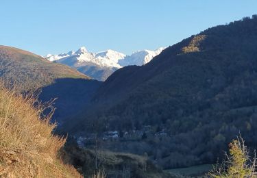
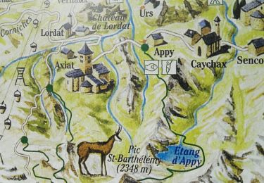
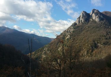
Trail Mountain bike Verdun - Zevtt - Verdun - Photo

Zevtt - Verdun

 kipoura
kipoura

User

© OpenStreetMap contributors
Length
Length
28 km
Max alt
Max alt
1371 m
Uphill gradient
Uphill gradient
1284 m
Km-Effort
Km-Effort  
45 km
Min alt
Min alt
566 m
Downhill gradient
Downhill gradient
1283 m
Boucle
Boucle
Yes
Creation date :
2019-05-03 17:11:12.267
Updated on :
2019-05-03 17:11:12.56

(0 Reviews)

Mountain bike
Mountain bike
2h00
Difficulty : Medium

Scan this QR Code to open this trail in the SityTrail application

FREE GPS app for hiking

Logo SityTrail SityTrail

IGN / Geographical institutes

Download SityTrail from the App Store Download SityTrail from Google Play

Logo SityTrail SityTrail World

The world is yours!

Download SityTrail from the App Store Download SityTrail from Google Play Download SityTrail on Huawei AppGallery

About

Trail Mountain bike of 28 km to be discovered at Occitania, Ariège, Verdun. This trail is proposed by kipoura.

Description

Un petit circuit VTT fort sympathique ... http://zevtt.free.fr

Elevation profile

Positioning

Country:
France
Region :
Occitania
Department/Province :
Ariège
Municipality :
Verdun
Location:
Unknown
Start:(UTM)
392641 ; 4739032 (31T) N.

Trails nearby

Trail Walking Vèbre - rocher de Courbas - Photo
Walking
chrisgps

Walking

Easy
Vèbre, Occitania, Ariège, France
14.8 km | 25 km-effort
5h 44min
Yes
Trail Walking Larnat - Cap de la Lesse - Photo
Walking
c.chehere

Walking

Easy
Larnat, Occitania, Ariège, France
15.5 km | 23 km-effort
5h 41min
Yes
Trail Walking Verdun - Verdun, Albies, Vebre - Photo
Walking
luccio20231

Walking

Easy
Verdun, Occitania, Ariège, France
4.4 km | 6 km-effort
1h 33min
No
Trail Walking Vèbre - Vebre, Lassure, La Remise, Vebre - Photo
Walking
luccio20231

Walking

Easy
Vèbre, Occitania, Ariège, France
8.1 km | 12.6 km-effort
2h 34min
Yes
Trail Walking Vèbre - Vebre, Caychax. Alliés, Vebre - Photo
Walking
luccio20231

Walking

Easy
Vèbre, Occitania, Ariège, France
9.6 km | 15.1 km-effort
2h 53min
No
Trail Walking Larnat - Col de Larnat et Col Doulent - Photo
Walking
c.chehere

Walking

Difficult
(1)
Larnat, Occitania, Ariège, France
14.8 km | 23 km-effort
4h 42min
Yes
Trail Walking Les Cabannes - Camina des Cabannes à Luzenac - Photo
Walking
c.chehere

Walking

Easy
Les Cabannes, Occitania, Ariège, France
8.4 km | 10.6 km-effort
2h 46min
No
Trail Walking Cazenave-Serres-et-Allens - cabane du pla de Tabe - Photo
Walking
chrisgps

Walking

Medium
Cazenave-Serres-et-Allens, Occitania, Ariège, France
9.3 km | 19 km-effort
6h 36min
Yes
Trail Walking Les Cabannes - chemin des Tuliers n°6 - Photo
Walking
chrisgps

Walking

Easy
Les Cabannes, Occitania, Ariège, France
14.1 km | 21 km-effort
4h 30min
Yes


Close
My subscriptions