


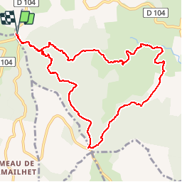

13.8 km | 21 km-effort


User


FREE GPS app for hiking
 SityTrail
IGN / Geographical institutes
SityTrail World
The world is yours!
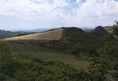
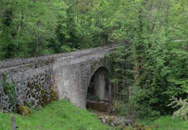
Trail Walking of 12 km to be discovered at Auvergne-Rhône-Alpes, Ardèche, Saint-Priest. This trail is proposed by Lustou.
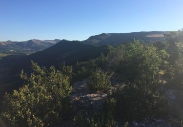
Rando du 18/06/2018
En descendant de la Chévre écorchée prendre à gauche le sentier qui va directement à La garde. Le tour par Théoule, le Gleizal manque d'intêret (route goudronnée)
Walking

Walking
Walking
Walking
Road bike
Walking
Walking
Walking
Walking