


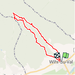


7.3 km | 10.6 km-effort


User


FREE GPS app for hiking
 SityTrail
IGN / Geographical institutes
SityTrail World
The world is yours!
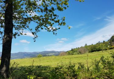
Trail Walking of 7.9 km to be discovered at Grand Est, Haut-Rhin, Wihr-au-Val. This trail is proposed by zazie.
Randonnée pédestre en dehors de quelques grands chemins. Train parfois aléatoire par manque de GPS.


Walking

Horseback riding

Walking
Walking
Walking
Walking
Walking
Walking

Horseback riding