Trail Mountain bike Haux - 33-haux-20120325 - Photo

33-haux-20120325

 Gus64
Gus64

User

© OpenStreetMap contributors
Length
Length
33 km
Max alt
Max alt
108 m
Uphill gradient
Uphill gradient
647 m
Km-Effort
Km-Effort  
41 km
Min alt
Min alt
20 m
Downhill gradient
Downhill gradient
651 m
Boucle
Boucle
Yes
Creation date :
2014-12-10 00:00:00.0
Updated on :
2014-12-10 00:00:00.0

(0 Reviews)

Mountain bike
Mountain bike
4h09
Difficulty : Medium

Scan this QR Code to open this trail in the SityTrail application

FREE GPS app for hiking

Logo SityTrail SityTrail

IGN / Geographical institutes

Download SityTrail from the App Store Download SityTrail from Google Play

Logo SityTrail SityTrail World

The world is yours!

Download SityTrail from the App Store Download SityTrail from Google Play Download SityTrail on Huawei AppGallery

About

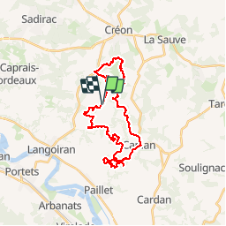
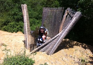
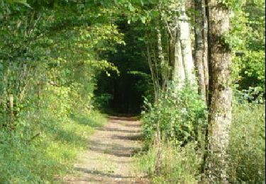
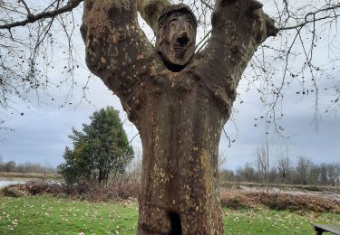
Trail Mountain bike of 33 km to be discovered at New Aquitaine, Gironde, Haux. This trail is proposed by Gus64.

Description

Haux-Le juge-Millé-Gd Mouey-Capian-Ste Anne-Moulin Barbot

Elevation profile

Positioning

Country:
France
Region :
New Aquitaine
Department/Province :
Gironde
Municipality :
Haux
Location:
Unknown
Start:(UTM)
708997 ; 4956700 (30T) N.

Trails nearby

Trail Walking Lestiac-sur-Garonne - aze - Photo
Walking
PatrickBEGUIN

Walking

Easy
Lestiac-sur-Garonne, New Aquitaine, Gironde, France
4.5 km | 4.8 km-effort
2h 34min
No
Trail Walking Le Tourne - langoiran - Photo
Walking
bedous

Walking

Easy
Le Tourne, New Aquitaine, Gironde, France
17.8 km | 24 km-effort
4h 12min
No
Trail Walking Lestiac-sur-Garonne - lestiac   - Photo
Walking
phil33

Walking

Very easy
Lestiac-sur-Garonne, New Aquitaine, Gironde, France
9.4 km | 11.3 km-effort
3h 2min
Yes
Trail Mountain bike Haux - 33-haux-20120527 - Photo
Mountain bike
Gus64

Mountain bike

Difficult
Haux, New Aquitaine, Gironde, France
32 km | 41 km-effort
3h 0min
Yes
Trail Mountain bike Créon - De Créon à Saint Genès de Lombaud - Photo
Mountain bike
tracegps

Mountain bike

Difficult
Créon, New Aquitaine, Gironde, France
24 km | 28 km-effort
2h 30min
Yes
Trail Walking Tabanac - languaran  - Photo
Walking
jara

Walking

Very easy
Tabanac, New Aquitaine, Gironde, France
9.8 km | 12.1 km-effort
2h 54min
Yes
Trail Walking La Sauve - sauvé  Majeure 10 km - Photo
Walking
rigo33

Walking

Very easy
(1)
La Sauve, New Aquitaine, Gironde, France
9.8 km | 11.5 km-effort
2h 35min
No
Trail Walking Haux - haux - Photo
Walking
gerardbarreau

Walking

Very easy
Haux, New Aquitaine, Gironde, France
11.8 km | 15.3 km-effort
4h 1min
Yes
Trail Walking Lestiac-sur-Garonne - Lestiac V2 - Photo
Walking
Rosko65

Walking

Very easy
Lestiac-sur-Garonne, New Aquitaine, Gironde, France
18.2 km | 23 km-effort
5h 20min
Yes


Close
My subscriptions