


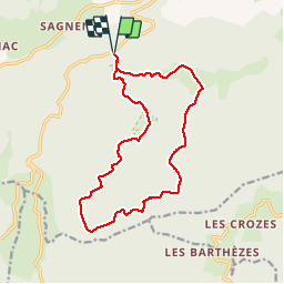

12.6 km | 18.8 km-effort

User


FREE GPS app for hiking
 SityTrail
IGN / Geographical institutes
SityTrail World
The world is yours!
Trail Mountain bike of 15.7 km to be discovered at Occitania, Tarn, Lacaune. This trail is proposed by tracegps.
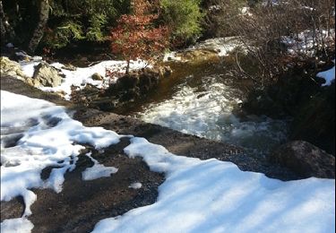
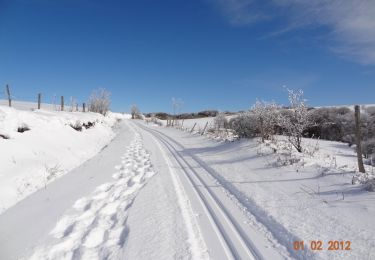
Départ du Col de Piquotalen. Découvrir les Monts de Lacaune et ses pistes de ski de fond par toutes les saisons. A pieds, en vélo ou en raquettes, à chacun son plaisir. 4h00 de marche ou 1h30 de vélo pour parcourir la boucle du Bel Vespré. Possibilité de découvrir un magnifique point de vue en chemin, (cf Roc des Ecus). Parcours parfaitement balisé. Parking en face du départ. Idéal randonneurs voulant découvrir les beauté de la montagne lacaunaise.


Walking
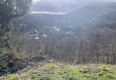
Walking
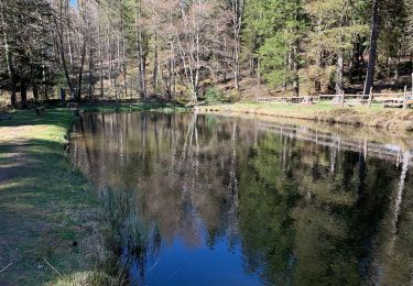
Walking

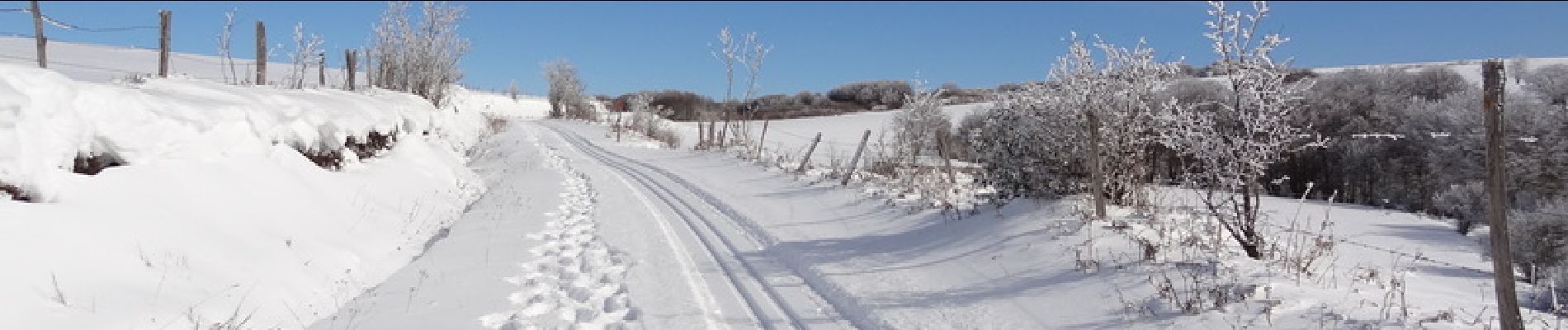
Snowshoes
Walking
Walking
Walking
