


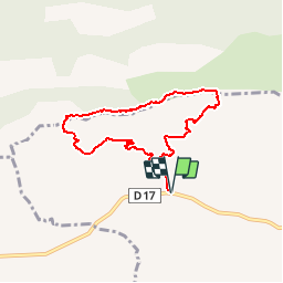

15.8 km | 28 km-effort

User


FREE GPS app for hiking
 SityTrail
IGN / Geographical institutes
SityTrail World
The world is yours!
Trail Walking of 7.3 km to be discovered at Provence-Alpes-Côte d'Azur, Bouches-du-Rhône, Puyloubier. This trail is proposed by tracegps.
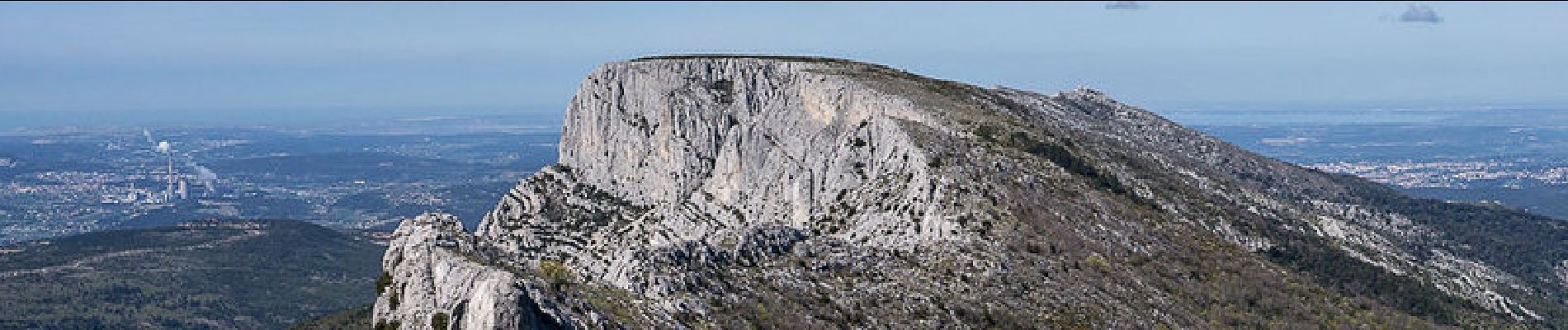
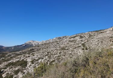
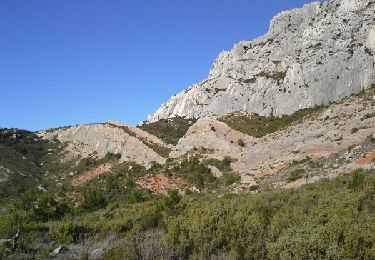
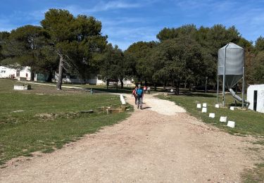
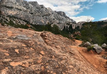
Provence – Montagne Sainte-Victoire. Le parking sous le relais de Saint-Ser est le point de départ à de belles randonnées dans le versant sud de la Sainte-Victoire, le Pic des Mouches en particulier. Pratiqué au XVIIIe siècle par les villageois qui se rendaient à Vauvenargues chez le juge de paix, le Couloir des Justiciables débouche au Col de Vauvenargues qui donne accès à un magnifique parcours de crête par la Brèche de Genty, le Col de Saint-Ser et le Baù de l'Aigle pour atteindre le Pic des Mouches – sommet oriental de la Sainte-Victoire. Le retour par le Parcours de Bramefan, complexe et peu évident, se faufile par combes et escarpements, dans un environnement sauvage très varié. Description complète sur sentier-nature.com : Le Pic des Mouches par le Couloir des Justiciables, Col de Vauvenargues. Avertissement [Franchissement 2/3 ; Exposition 1/3 ; Orientation 3/3 ; Pénibilité 2/3]. Certains passages de cet itinéraire de montagne sont escarpés et/ou très exposés, il est déconseillé aux enfants non accompagnés et aux personnes sujettes au vertige. Pour votre sécurité, nous vous invitons à respecter les règles suivantes : être bien chaussé, ne pas s'engager par mauvais temps, ne pas s'écarter de l'itinéraire ni des sentiers.


Walking

Walking
Walking

Walking

Walking

Walking
Walking
Walking
Walking