


9.8 km | 14.9 km-effort


User


FREE GPS app for hiking
 SityTrail
IGN / Geographical institutes
SityTrail World
The world is yours!
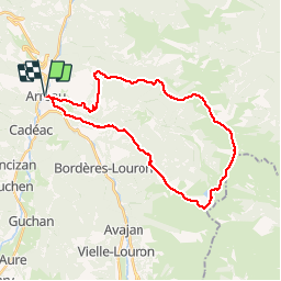
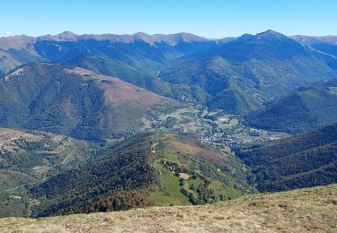
Trail Running of 32 km to be discovered at Occitania, Hautespyrenees, Arreau. This trail is proposed by dbellanger.
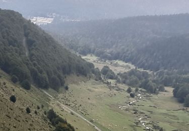
Dans la descente la trace GPS montre un crochet dont il ne faut pas tenir compte. C'st une erreur, prendre tout droit.
Attention, parcours réalisé en courant dans les descentes.

Walking

Snowshoes

Walking
Walking
Nordic walking

Walking
Snowshoes
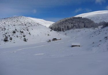
Snowshoes
Walking