Trail Walking Longpont - en forêt de Retz_2_Longpont_Fleury_AR - Photo

en forêt de Retz_2_Longpont_Fleury_AR

forêts de France

© OpenStreetMap contributors
Length
Length
15.3 km
Max alt
Max alt
201 m
Uphill gradient
Uphill gradient
322 m
Km-Effort
Km-Effort  
19.6 km
Min alt
Min alt
86 m
Downhill gradient
Downhill gradient
321 m
Boucle
Boucle
Yes
Creation date :
2017-06-06 00:00:00.0
Updated on :
2020-11-08 10:46:16.127

(0 Reviews)

Walking
Walking
3h51
Difficulty : Difficult

Scan this QR Code to open this trail in the SityTrail application

FREE GPS app for hiking

Logo SityTrail SityTrail

IGN / Geographical institutes

Download SityTrail from the App Store Download SityTrail from Google Play

Logo SityTrail SityTrail World

The world is yours!

Download SityTrail from the App Store Download SityTrail from Google Play Download SityTrail on Huawei AppGallery

About

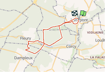
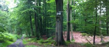
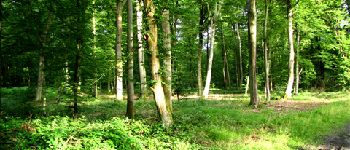
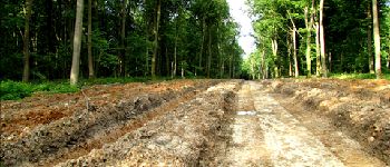
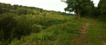
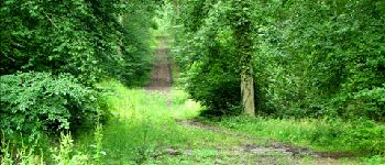
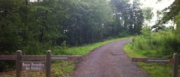
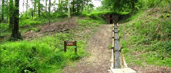
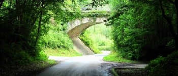
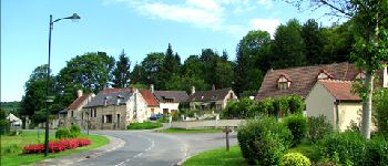
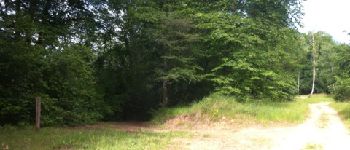
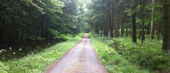
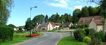
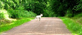
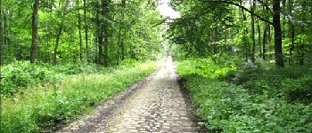
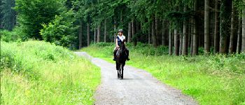
Trail Walking of 15.3 km to be discovered at Hauts-de-France, Aisne, Longpont. This trail is proposed by en forêt de Retz.

Description

voir aussi:
http://foret-de-retz.over-blog.com/

06/2012

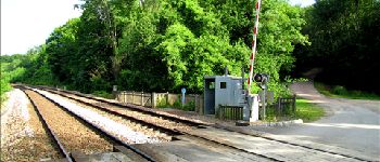
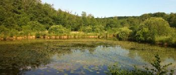
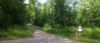
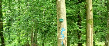
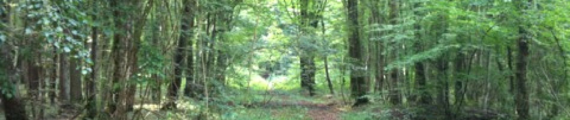
A partir de l''abbaye de Longpont, prendre le GR11A et rattraper le vieux chemin de Longpont. Au carrefour Bosc, prendre la laie des grands Charmes jusqu''au carrefour des places fraîches. Suivre la laie de l'étang et rejoindre l''étang de la petite Ramée. Traverser la D80 en suivant la laie de la route droite jusqu'au carrefour des Cornillards. Prendre la route des Briolles jusqu'à Fleury. Passer derrière l'étang de Fleury et longer la D80 pour rejoindre près du passage à niveau. Prendre la route de la Croix Bacquet jusqu'à la croix Bacquet. Prendre le vieux chemin de Longpont pour rejoindre la D2 et rentrer à Longpont.
         

Elevation profile

Photos

28 photos in total. Please click on a photo to see them all in the gallery.

Points of interest

Point of interest Longpont - Point 2 - Photo
JeanLucA4
LONGPONT 
Point of interest Montgobert - Point 3 - Photo
JeanLucA4
MONTGOBERT 
Point of interest Montgobert - Point 4 - Photo
JeanLucA4
MONTGOBERT 
Point of interest Corcy - Point 5 - Photo
JeanLucA4
CORCY 
Point of interest Corcy - Point 6 - Photo
JeanLucA4
CORCY 
Point of interest Corcy - Point 8 - Photo
JeanLucA4
CORCY 
Point of interest Corcy - Point 9 - Photo
JeanLucA4
CORCY 
Point of interest Corcy - Point 10 - Photo
JeanLucA4
CORCY 
Point of interest Corcy - Point 11 - Photo
JeanLucA4
CORCY 
Point of interest Dampleux - Point 12 - Photo
JeanLucA4
DAMPLEUX 
Point of interest Dampleux - Point 13 - Photo
JeanLucA4
DAMPLEUX 
Point of interest Dampleux - Point 15 - Photo
JeanLucA4
DAMPLEUX 
Point of interest Dampleux - Point 16 - Photo
JeanLucA4
DAMPLEUX 
Point of interest Fleury - Point 17 - Photo
JeanLucA4
FLEURY 
Point of interest Fleury - Point 18 - Photo
JeanLucA4
FLEURY 
Point of interest Corcy - Point 20 - Photo
JeanLucA4
CORCY 
Point of interest Corcy - Point 21 - Photo
JeanLucA4
CORCY 
Point of interest Corcy - Point 22 - Photo
JeanLucA4
CORCY 
Point of interest Corcy - Point 24 - Photo
JeanLucA4
CORCY 
Point of interest Montgobert - Point 26 - Photo
JeanLucA4
MONTGOBERT 
Point of interest Montgobert - Point 27 - Photo
JeanLucA4
MONTGOBERT 
Point of interest Longpont - Point 29 - Photo
JeanLucA4
LONGPONT 
Point of interest Longpont - Point 30 - Photo
JeanLucA4
LONGPONT 
Point of interest Longpont - Point 1 - Photo
JeanLucA4
LONGPONT 
Point of interest Dampleux - Point 14 - Photo
JeanLucA4
DAMPLEUX 
Point of interest Fleury - Point 19 - Photo
JeanLucA4
FLEURY 
Point of interest Corcy - Point 23 - Photo
JeanLucA4
CORCY 
Point of interest Montgobert - Point 25 - Photo
JeanLucA4
MONTGOBERT 
Point of interest Montgobert - Point 28 - Photo
JeanLucA4
MONTGOBERT 
Point of interest Longpont - Point 31 - Photo
JeanLucA4
LONGPONT 
Point of interest Corcy - Point 7 - Photo
JeanLucA4
CORCY 

Positioning

Country:
France
Region :
Hauts-de-France
Department/Province :
Aisne
Municipality :
Longpont
Location:
Unknown
Start:(UTM)
516001 ; 5457847 (31U) N.

Trails nearby

Trail Walking Longpont - en forêt de Retz_19_Longpont_carrefour de Vauvaudran_AR - Photo
Walking

Walking

Medium
(1)
Longpont, Hauts-de-France, Aisne, France
17.5 km | 21 km-effort
4h 10min
Yes
Trail Walking Corcy - FLEURY .AISNE  - Photo
Walking
TURLUPIN2010

Walking

Medium
Corcy, Hauts-de-France, Aisne, France
5.7 km | 7.9 km-effort
1h 25min
Yes
Trail Walking Corcy - en forêt de Retz_91_04_2022_la Laie de la Belle Epine - Photo
Walking

Walking

Difficult
Corcy, Hauts-de-France, Aisne, France
10.6 km | 13.3 km-effort
3h 32min
Yes
Trail On foot Puiseux-en-Retz - Route du Faîte - Photo
On foot
PRO

On foot

Easy
Puiseux-en-Retz, Hauts-de-France, Aisne, France
5.8 km | 7.1 km-effort
1h 37min
No
Trail On foot Longpont - en forêt de Retz_22_Longpont_Rond d'Orléans_AR - Photo
On foot

On foot

Medium
Longpont, Hauts-de-France, Aisne, France
14.6 km | 17.5 km-effort
Unknown
Yes
Trail Walking Montgobert - en forêt de Retz_83_les Champs Mentard_le Fond d'Argent - Photo
Walking

Walking

Medium
Montgobert, Hauts-de-France, Aisne, France
13.6 km | 16.2 km-effort
3h 46min
Yes
Trail Walking Longpont - en forêt de Retz_77_Longpont_Puiseux en Retz_AR - Photo
Walking

Walking

Difficult
Longpont, Hauts-de-France, Aisne, France
22 km | 27 km-effort
6h 4min
Yes
Trail Walking Montgobert - en forêt de Retz_75_promenade familiale tout temps - Photo
Walking

Walking

Very easy
Montgobert, Hauts-de-France, Aisne, France
3.9 km | 4.7 km-effort
1h 25min
Yes
Trail Walking Longpont - en forêt de Retz_73_ballade (5) en toute saison - Photo
Walking

Walking

Easy
Longpont, Hauts-de-France, Aisne, France
9.1 km | 10.8 km-effort
2h 6min
Yes


Close
My subscriptions