


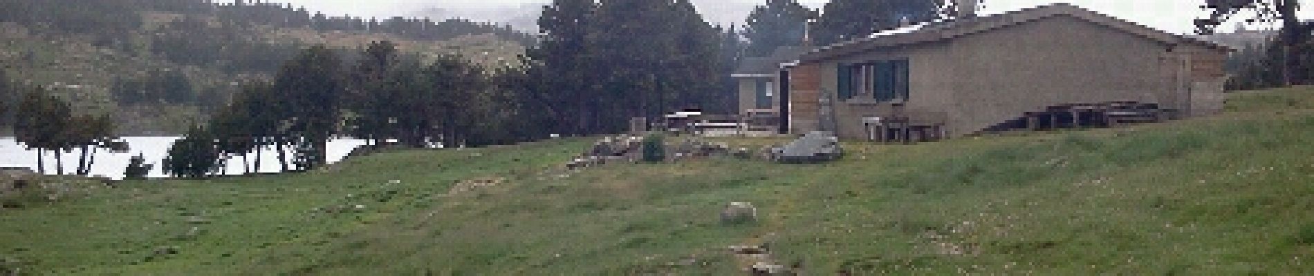
les camporeills

xav34830
User
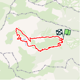

Length
17.5 km

Max alt
2416 m

Uphill gradient
763 m
Km-Effort
28 km

Min alt
1779 m

Downhill gradient
769 m
Boucle
Yes
Creation date :
2014-12-10 00:00:00.0
Updated on :
2014-12-10 00:00:00.0
5h54
Difficulty : Easy

FREE GPS app for hiking
 SityTrail
IGN / Geographical institutes
SityTrail Plus
The world is yours!
About
Trail Walking of 17.5 km to be discovered at Occitania, Pyrénées-Orientales, Formiguères. This trail is proposed by xav34830.
Photos


Positioning
Country:
France
Region :
Occitania
Department/Province :
Pyrénées-Orientales
Municipality :
Formiguères
Location:
Unknown
Start:(Dec)
Start:(UTM)
422134 ; 4719627 (31T) N.
Comments
Toujours gros problème de dénivelle avec iPhone.ravi d'avoir les cartes espagnoles