


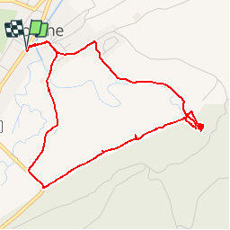


9.1 km | 12.5 km-effort


User


FREE GPS app for hiking
 SityTrail
IGN / Geographical institutes
SityTrail World
The world is yours!
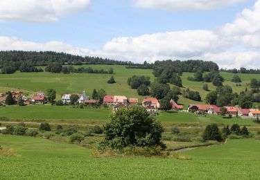
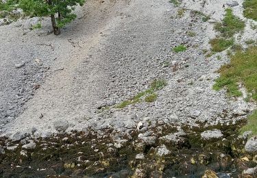
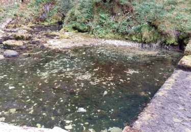
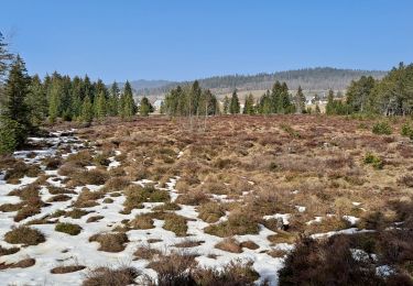
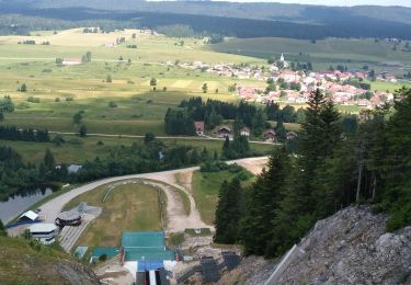
Trail Walking of 5.4 km to be discovered at Bourgogne-Franche-Comté, Doubs, Mouthe. This trail is proposed by bmorel@orange.fr.
Tracé GPS
Walking
Walking
On foot
On foot
Walking
Walking
Walking
Walking

parfait pour la version France. J'ai été très déçue par celle de la Suisse