


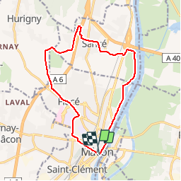


148 km | 165 km-effort


User


FREE GPS app for hiking
 SityTrail
IGN / Geographical institutes
SityTrail World
The world is yours!
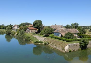
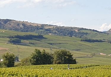
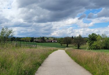
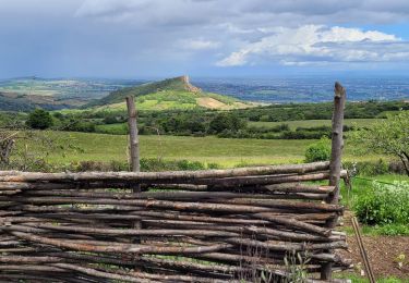
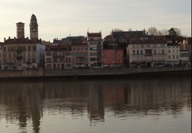
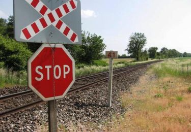
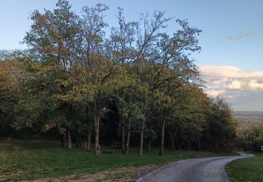
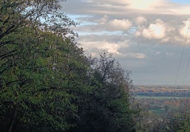
Trail Cycle of 14.4 km to be discovered at Bourgogne-Franche-Comté, Saône-et-Loire, Mâcon. This trail is proposed by biollay.
Boucle de découverte du VAE
Walking


sport
Walking
Walking
Walking
Walking
Mountain bike
Walking
Walking