


13 km | 22 km-effort


User


FREE GPS app for hiking
 SityTrail
IGN / Geographical institutes
SityTrail World
The world is yours!
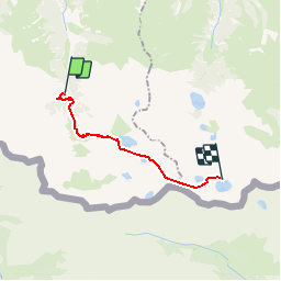
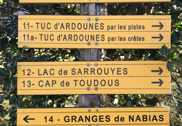
Trail Other activity of 12.9 km to be discovered at Occitania, Hautespyrenees, Génos. This trail is proposed by DebPokus.
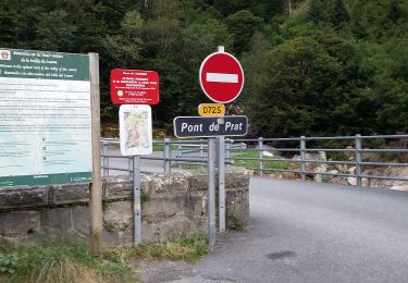
Pont du Prat - Portillon

Walking

Walking
Walking
Walking

Walking

Walking
Walking
Walking
Walking