


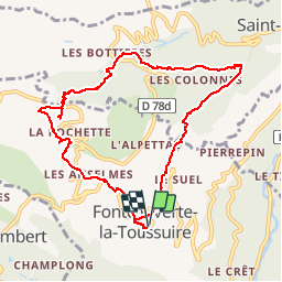

4.5 km | 10.5 km-effort


User


FREE GPS app for hiking
 SityTrail
IGN / Geographical institutes
SityTrail World
The world is yours!
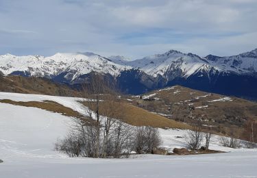
Trail Walking of 11 km to be discovered at Auvergne-Rhône-Alpes, Savoy, Fontcouverte-la-Toussuire. This trail is proposed by PegaseJM.
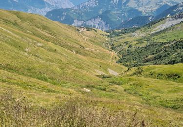
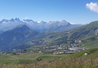
Belle balade en forêt


Walking

Mountain bike
Walking

Nordic walking

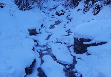
Snowshoes
Nordic walking
Nordic walking
Nordic walking
Walking