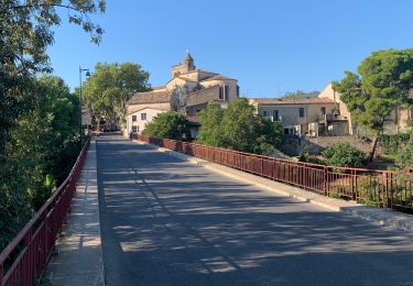
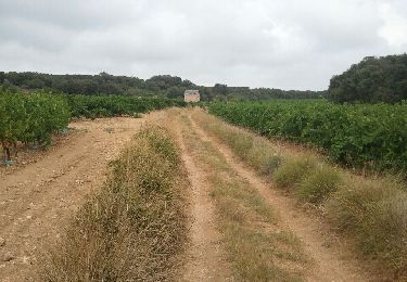
Trail Mountain bike Montpellier - Montpellier Grabels Saint Clément Montferrier  - Photo

Montpellier Grabels Saint Clément Montferrier

© OpenStreetMap contributors
Length
Length
34 km
Max alt
Max alt
142 m
Uphill gradient
Uphill gradient
448 m
Km-Effort
Km-Effort  
40 km
Min alt
Min alt
25 m
Downhill gradient
Downhill gradient
449 m
Boucle
Boucle
Yes
Creation date :
2014-12-10 00:00:00.0
Updated on :
2014-12-10 00:00:00.0

(0 Reviews)

Mountain bike
Mountain bike
2h14
Difficulty : Medium

Scan this QR Code to open this trail in the SityTrail application

FREE GPS app for hiking

Logo SityTrail SityTrail

IGN / Geographical institutes

Download SityTrail from the App Store Download SityTrail from Google Play

Logo SityTrail SityTrail World

The world is yours!

Download SityTrail from the App Store Download SityTrail from Google Play Download SityTrail on Huawei AppGallery

About

Trail Mountain bike of 34 km to be discovered at Occitania, Hérault, Montpellier. This trail is proposed by cucendron.

Elevation profile

Photos

Points of interest

Point of interest Montferrier-sur-Lez - Point 4 - Photo
cucendron
MONTFERRIER-SUR-LEZ 

Positioning

Country:
France
Region :
Occitania
Department/Province :
Hérault
Municipality :
Montpellier
Location:
Unknown
Start:(UTM)
569645 ; 4828022 (31T) N.

Trails nearby

Trail Walking Montpellier - 2023 07 08 chemin du Piémont Pyrénéen (Montpellier -Ballaruc le vieux) - Photo
Walking
LEGUE

Walking

Difficult
Montpellier, Occitania, Hérault, France
34 km | 40 km-effort
6h 33min
No
Trail Walking Montpellier - Montpellier - Centre - Photo
Walking
PiloudeBamako

Walking

Medium
Montpellier, Occitania, Hérault, France
3.1 km | 3.4 km-effort
1h 25min
No
Trail Walking Lattes - Etang du mejean - Photo
Walking
vasta

Walking

Easy
Lattes, Occitania, Hérault, France
11.2 km | 11.6 km-effort
2h 36min
Yes
Trail Walking Saint-Jean-de-Védas - Saint Jean de Védas (val de Mosson) - Photo
Walking
coulombf

Walking

Very easy
(2)
Saint-Jean-de-Védas, Occitania, Hérault, France
8.1 km | 9.6 km-effort
2h 42min
Yes
Trail Walking Montpellier - 34 - Montpellier - Vallée de la Mosson - 9,3 km - 2h30.gpx - Photo
Walking
dansmabulle34

Walking

Easy
(1)
Montpellier, Occitania, Hérault, France
9.2 km | 10.7 km-effort
2h 24min
Yes
Trail Walking Lattes - 34 - Lattes - Maison de la Nature - 7,8 km - 2h20.gpx - Photo
Walking
dansmabulle34

Walking

Easy
(2)
Lattes, Occitania, Hérault, France
7.7 km | 8 km-effort
1h 47min
Yes
Trail Walking Grabels - Montpellier - Montarnaud - Photo
Walking
RR31

Walking

Medium
Grabels, Occitania, Hérault, France
17.8 km | 21 km-effort
Unknown
No
Trail Mountain bike Montpellier - Montpellier Laverune Saint Jean De Védas  - Photo
Mountain bike
cucendron

Mountain bike

Easy
Montpellier, Occitania, Hérault, France
23 km | 26 km-effort
1h 32min
Yes
Trail Mountain bike Montpellier - Montpellier Le Cres Castries Saint Aunes  - Photo
Mountain bike
cucendron

Mountain bike

Easy
Montpellier, Occitania, Hérault, France
34 km | 39 km-effort
2h 2min
Yes


Close
My subscriptions