


83 km | 96 km-effort

User


FREE GPS app for hiking
 SityTrail
IGN / Geographical institutes
SityTrail World
The world is yours!
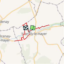
Trail Walking of 11.9 km to be discovered at Grand Est, Aube, Marcilly-le-Hayer. This trail is proposed by Daneel-89.
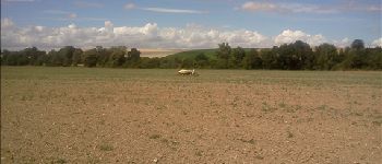
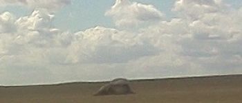
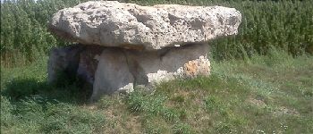
Curiosités :
Dolmen de Bercenay
Dolmen des Blancs Fossés
Dolmen de la Pierre Couverte
Départ/Arrivée : Camping Municipal
Distance : 12 Km environ
Niveau : Facile
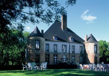
 - Photo 1")
 - Photo 2")
 - Photo 3")
 - Photo 4")
 - Photo 5")
 - Photo 6")
Cycle


Mountain bike
On foot
On foot