


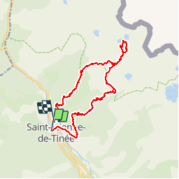

19.5 km | 40 km-effort

User


FREE GPS app for hiking
 SityTrail
IGN / Geographical institutes
SityTrail World
The world is yours!
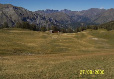
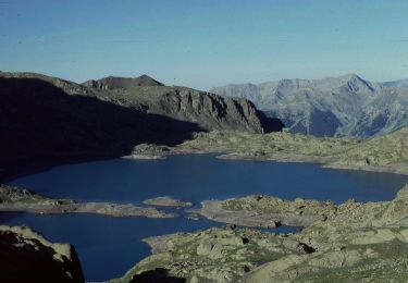
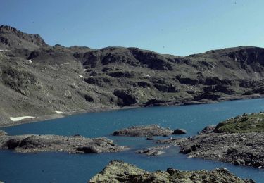
Trail Walking of 18.1 km to be discovered at Provence-Alpes-Côte d'Azur, Maritime Alps, Saint-Étienne-de-Tinée. This trail is proposed by will83.
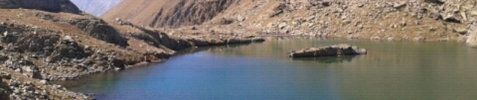
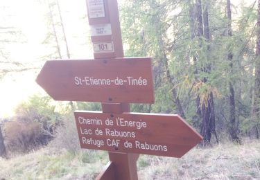
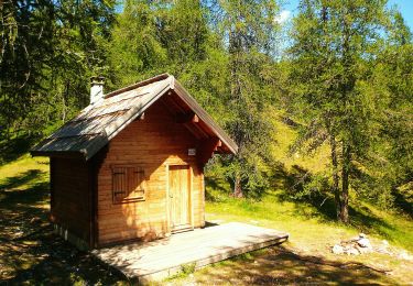
ascension au pied du Ténibre


Walking

Walking
On foot

On foot
On foot

On foot
On foot
On foot

On foot
super