


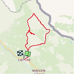

10.4 km | 15.4 km-effort


User GUIDE


FREE GPS app for hiking
 SityTrail
IGN / Geographical institutes
SityTrail World
The world is yours!
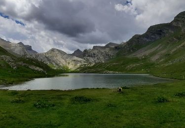
Trail Walking of 17.4 km to be discovered at Provence-Alpes-Côte d'Azur, Alpes-de-Haute-Provence, Val-d'Oronaye. This trail is proposed by R@ph.
Walking

Walking
Walking

Walking
Walking
Walking
Walking
Walking

Walking
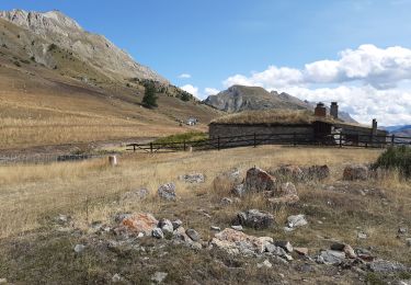
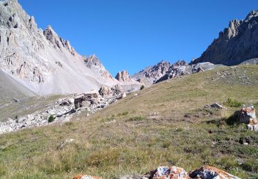
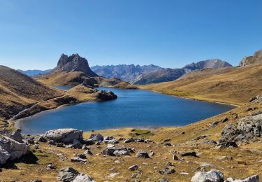
belle sortie avec encore beaucoup de névé sur les hauteurs. J'ai pu visiter le château avec les propriétaires qui me l'ont proposé. Super avec de bon échanges.