


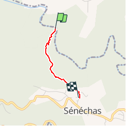

16.1 km | 26 km-effort


User


FREE GPS app for hiking
 SityTrail
IGN / Geographical institutes
SityTrail World
The world is yours!
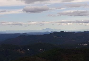
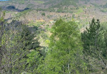
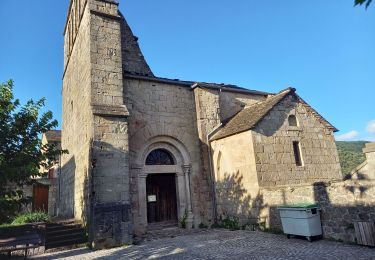
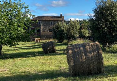
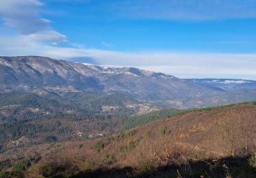
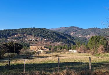
Trail Walking of 1.5 km to be discovered at Occitania, Gard, Sénéchas. This trail is proposed by dussaux.
Remontee de la baignade a la Ceze - 1.5 km - 100 m de denivelee
Walking
Walking
Walking
Walking
Walking
Walking
Walking
Walking
Walking