


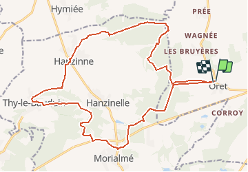

24 km | 29 km-effort


User


FREE GPS app for hiking
 SityTrail
IGN / Geographical institutes
SityTrail World
The world is yours!
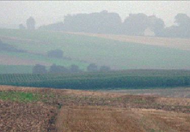
Trail Equestrian of 21 km to be discovered at Wallonia, Namur, Mettet. This trail is proposed by benoit.kenda.
balade a cheval a oret et sa region

Walking
Walking

Walking

Walking
Walking
Walking
Walking
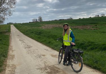
Road bike

Walking