


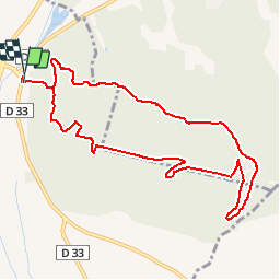

12.8 km | 15.3 km-effort


User


FREE GPS app for hiking
 SityTrail
IGN / Geographical institutes
SityTrail World
The world is yours!
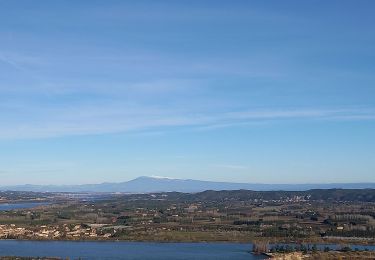
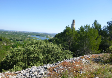
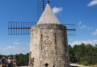
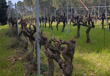
Trail Walking of 10.6 km to be discovered at Provence-Alpes-Côte d'Azur, Bouches-du-Rhône, Tarascon. This trail is proposed by Amaralain.
Départ de St-Gabriel - Tour ruinée - citerne - Grès du Comte - vallon de la Lèque - retour par GR6
Walking

Walking
Walking
Walking
Walking
Walking
Walking
Walking