


12.1 km | 13.1 km-effort


User


FREE GPS app for hiking
 SityTrail
IGN / Geographical institutes
SityTrail World
The world is yours!
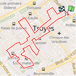
Trail Walking of 3.2 km to be discovered at Grand Est, Aube, Troyes. This trail is proposed by pvalette.
Circuit touristique de la ville de Troyes - Le Parcours des Chats - 3.5km

Nordic walking
Nordic walking
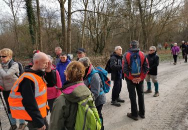
Walking

Walking

Walking


Walking

Walking