


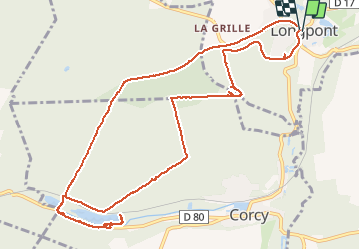


17.5 km | 21 km-effort

forêts de France


FREE GPS app for hiking
 SityTrail
IGN / Geographical institutes
SityTrail World
The world is yours!
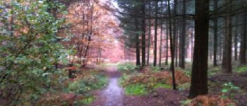
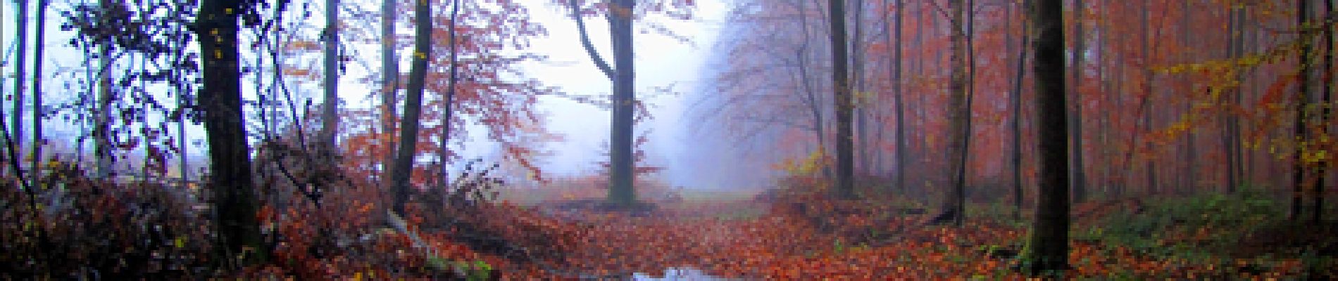
Trail Walking of 13 km to be discovered at Hauts-de-France, Aisne, Longpont. This trail is proposed by en forêt de Retz.
voir aussi:
http://foret-de-retz.over-blog.com/
11/2012
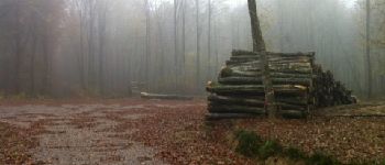
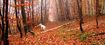
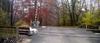
A partir de Longpont, prendre le GR11A aux 3 maisons puis la laie du vieux Mur jusqu''au carrefour du Pendu. Suivre la laie de la route du Pendu jusqu''au carrefour de la Tartarine. Prendre la laie des grands Charmes jusqu''au carrefour des places fraîches. Suivre la laie de l''étang (refaite à neuf) pour arrivée à la fontaine du prince après la traversée du passage à niveau. Rejoindre les étangs de la grande Ramée par la départementale D80 en direction de Corcy.
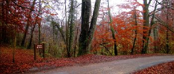
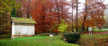
Retour par le même chemin jusqu''à la traversée du passage à niveau. Prendre la laie de la route droite (très mauvais état au croisement avec la route du faîte)jusqu''à Château Fée. Prendre la laie de la grosse pierre puis le vieux chemin de Longpont et rentrer par la D2 jusqu'à Longpont.


Walking

Walking

Walking

On foot

On foot

Walking

Walking

Walking

Walking