


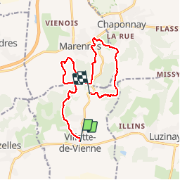

17.1 km | 23 km-effort


User


FREE GPS app for hiking
 SityTrail
IGN / Geographical institutes
SityTrail World
The world is yours!
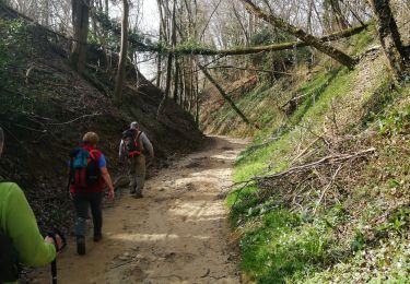
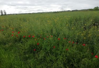
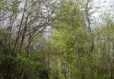
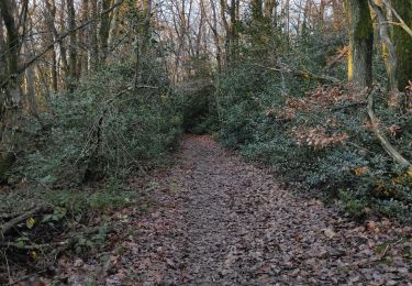
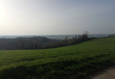
Trail Walking of 13.7 km to be discovered at Auvergne-Rhône-Alpes, Isère, Villette-de-Vienne. This trail is proposed by bpc.
alentours de Villette de Viennela
Walking

Mountain bike
Mountain bike
Walking
Mountain bike
Walking
Walking

Mountain bike

Mountain bike