


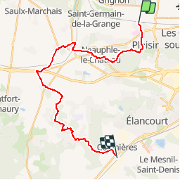

12.7 km | 15.4 km-effort


User


FREE GPS app for hiking
 SityTrail
IGN / Geographical institutes
SityTrail World
The world is yours!
Trail Walking of 25 km to be discovered at Ile-de-France, Yvelines, Plaisir. This trail is proposed by Tonyar.
Troisième étape du GR11
Départ Gare Plaisir Grignon - Arrivée Gare Coignières
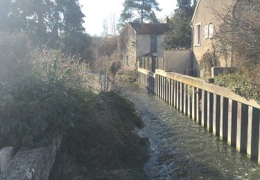
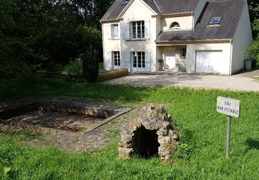
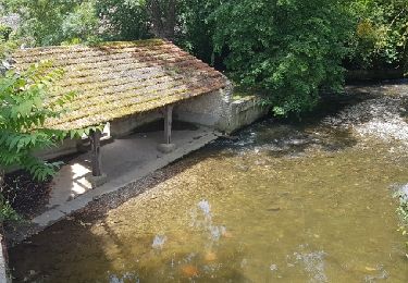
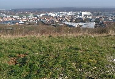
Etape effectuée le jour de l'hiver juste avant la fin du monde.
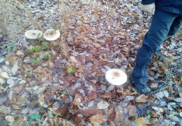
Temps couvert sans pluie, parcours un peu gras dans les zones boisées.

Walking
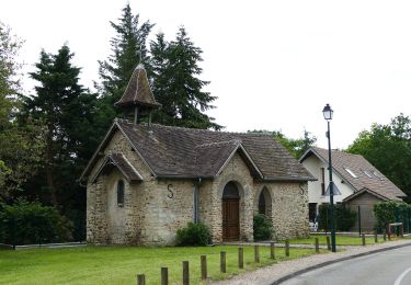
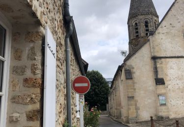
Walking

Walking
Walking
Other activity
Walking
Walking
Walking