


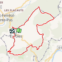

9.1 km | 17.9 km-effort


User


FREE GPS app for hiking
 SityTrail
IGN / Geographical institutes
SityTrail World
The world is yours!
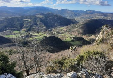
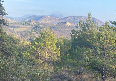
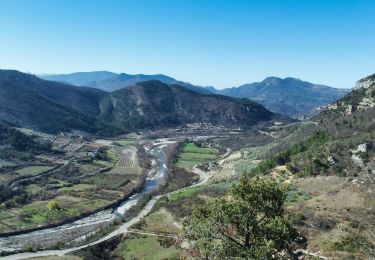
Trail Walking of 11 km to be discovered at Auvergne-Rhône-Alpes, Drôme, Eyroles. This trail is proposed by gilchan.
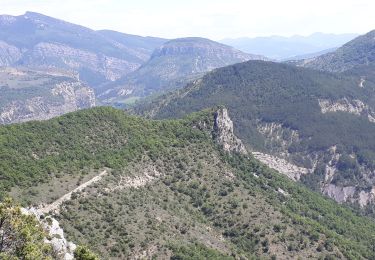
Montagne de Sigala
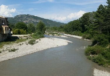
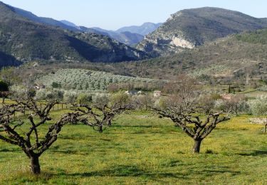
Superbe rando en automne!
Walking

Walking

Walking
Walking
Walking

Walking
Walking
Walking
Walking
Très belle rando, effectuée en automnne.