


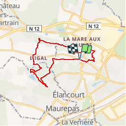


8.6 km | 9.5 km-effort


User


FREE GPS app for hiking
 SityTrail
IGN / Geographical institutes
SityTrail World
The world is yours!
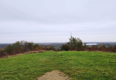
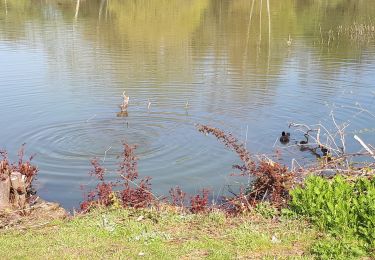
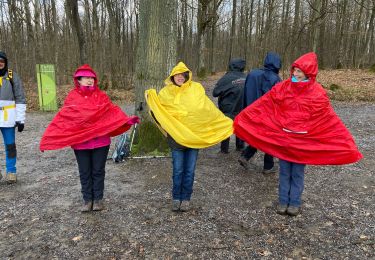
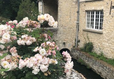
Trail Walking of 14.1 km to be discovered at Ile-de-France, Yvelines, Élancourt. This trail is proposed by hp.
Mise en forme avant le Cap vert


Walking

Walking

Mountain bike
Mountain bike

Walking
Walking
Walking
Walking

Walking