


11.5 km | 15.8 km-effort


User


FREE GPS app for hiking
 SityTrail
IGN / Geographical institutes
SityTrail World
The world is yours!
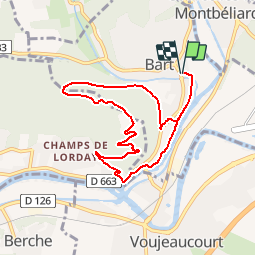
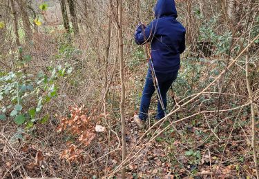
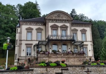
Trail Running of 8.1 km to be discovered at Bourgogne-Franche-Comté, Doubs, Bart. This trail is proposed by julien.millier.
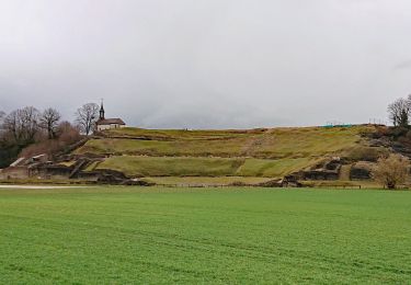
Montée et descente du mont bart au départ de Bart
Walking
Other activity


sport
Mountain bike
Walking
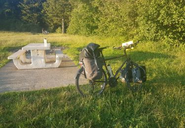
Bicycle tourism
Walking
Walking
Walking
ttyy
facile