


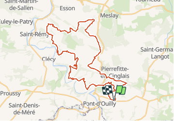


41 km | 54 km-effort

User


FREE GPS app for hiking
 SityTrail
IGN / Geographical institutes
SityTrail World
The world is yours!
Trail Mountain bike of 44 km to be discovered at Normandy, Calvados, Pont-d'Ouilly. This trail is proposed by tracegps.
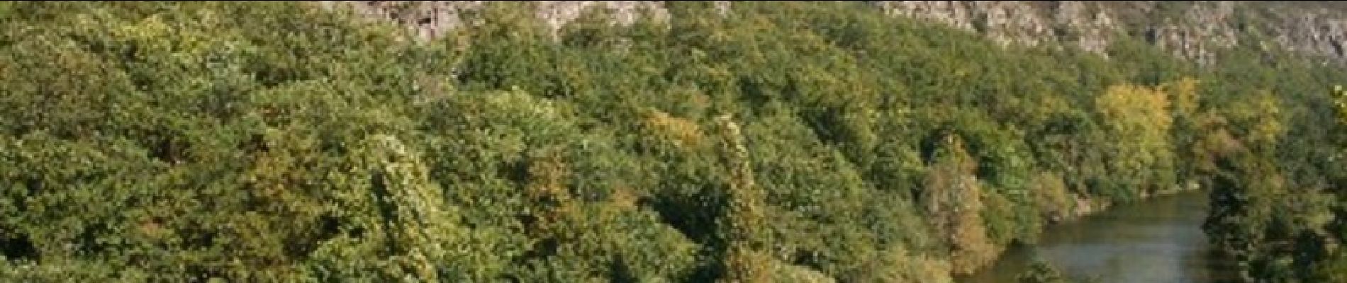
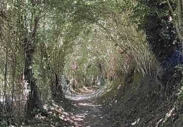
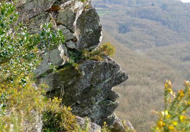
Au départ du Silo du Bourg d'Ouilly vous roulerez en Suisse Normande dans une vallée le long d'un ruisseau, vous descendrez un pierrier, vous allez aussi faire les Rochers des Parcs super point de vue sur la vallée de l'Orne. Je suis sûr que vous allez passer un bon moment.


Mountain bike
Walking
On foot
On foot
On foot
On foot

On foot
On foot
On foot