


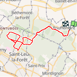


9.9 km | 12.6 km-effort


User


FREE GPS app for hiking
 SityTrail
IGN / Geographical institutes
SityTrail World
The world is yours!
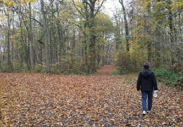
Trail Mountain bike of 18.1 km to be discovered at Ile-de-France, Val-d'Oise, Bouffémont. This trail is proposed by nitro95.
Sortie VTT du 3/02/2

Walking

Mountain bike
Walking
Walking
Walking
Walking
Walking
Walking
Walking