


7.9 km | 9.1 km-effort


User


FREE GPS app for hiking
 SityTrail
IGN / Geographical institutes
SityTrail World
The world is yours!
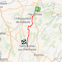
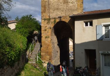
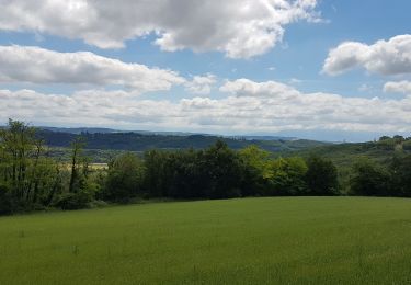
Trail Walking of 19.2 km to be discovered at Auvergne-Rhône-Alpes, Drôme, Hauterives. This trail is proposed by hubbi.
Hauterives - Saint-Donat-sur-l'Herbasse
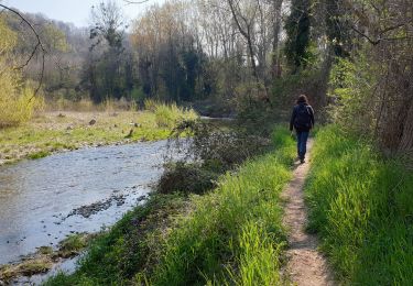
Walking

Walking

Road bike
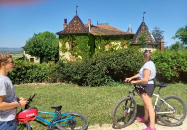
Cycle

Walking
Walking
Walking
Bicycle tourism


sport