


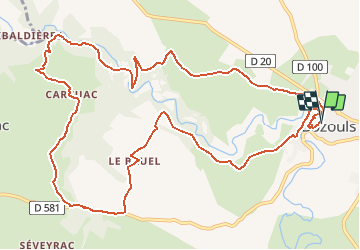

10.4 km | 13.6 km-effort


User


FREE GPS app for hiking
 SityTrail
IGN / Geographical institutes
SityTrail World
The world is yours!
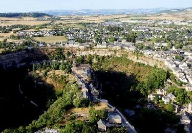
Trail Walking of 14.5 km to be discovered at Occitania, Aveyron, Bozouls. This trail is proposed by jmpu.
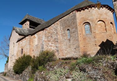
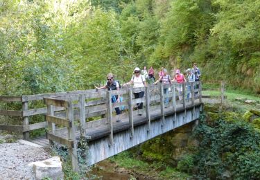
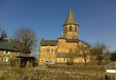
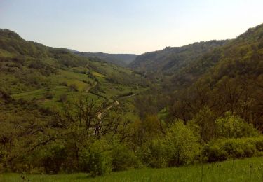
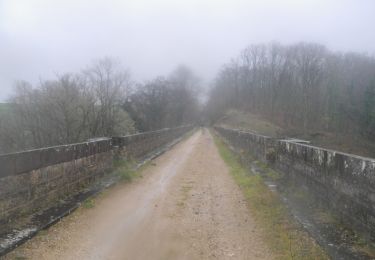
Départ du village BOZOULS (devant l'office de tourisme) descendre sur la gauche jusqu'au fond du "Trou". remonter de l'autre côté en passant devant l'église Ste Fauste. Continuer par le village Le BRUEL, ensuite CARCUAC. Virer à droite, rejoindre dans la Vallée, le pont enjambant la rivière Le Dourdou, remonter l'autre versant pour rejoindre SENTELS et continuer jusqu'à BOZOULS, en admirant sur la droite son superbe site "Le trou de Bozouls".
On foot
Walking
On foot
Walking
Walking
Mountain bike

Walking
Walking

Walking
sympa, surtout le début, après c'est un peu plat.
Très bonne app je l utilise à chaque village que je visite pour voir les ballades. Merci