Trail Walking Langogne - GR70 Langogne-Luc - Photo

GR70 Langogne-Luc

 svp59
svp59

User

© OpenStreetMap contributors
Length
Length
28 km
Max alt
Max alt
1249 m
Uphill gradient
Uphill gradient
774 m
Km-Effort
Km-Effort  
38 km
Min alt
Min alt
910 m
Downhill gradient
Downhill gradient
682 m
Boucle
Boucle
No
Creation date :
2014-12-10 00:00:00.0
Updated on :
2014-12-10 00:00:00.0

(1 Reviews)

Walking
Walking
8h03
Difficulty : Medium

Scan this QR Code to open this trail in the SityTrail application

FREE GPS app for hiking

Logo SityTrail SityTrail

IGN / Geographical institutes

Download SityTrail from the App Store Download SityTrail from Google Play

Logo SityTrail SityTrail World

The world is yours!

Download SityTrail from the App Store Download SityTrail from Google Play Download SityTrail on Huawei AppGallery

About

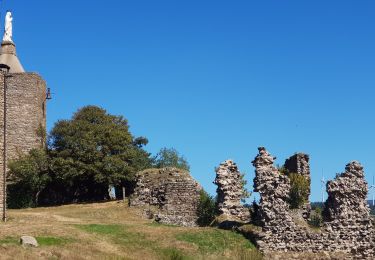
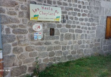
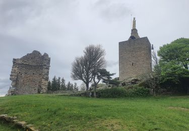
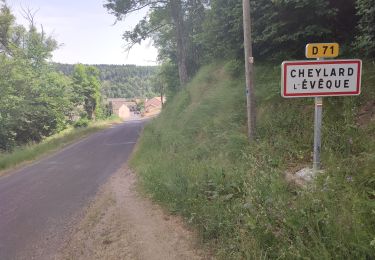
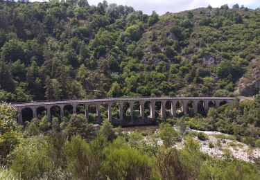
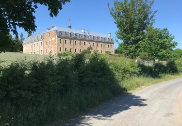
Trail Walking of 28 km to be discovered at Occitania, Lozère, Langogne. This trail is proposed by svp59.

Elevation profile

Positioning

Country:
France
Region :
Occitania
Department/Province :
Lozère
Municipality :
Langogne
Location:
Unknown
Start:(UTM)
567719 ; 4952905 (31T) N.

Comments

Please log in to post a review or rate the element


ce tracé ne correspond plus au Gr 70 d aujourd'hui


Trails nearby

Trail Walking Naussac-Fontanes - naussac - Photo
Walking
olivier78000

Walking

Easy
(1)
Naussac-Fontanes, Occitania, Lozère, France
7.9 km | 10.2 km-effort
2h 6min
Yes
Trail Mountain bike Langogne - Espace VTT FFC du Gévaudan - n°08 - Circuit  du Ras Chambon - Photo
Mountain bike
tracegps

Mountain bike

Difficult
(2)
Langogne, Occitania, Lozère, France
17.2 km | 22 km-effort
2h 15min
Yes
Trail Walking Langogne - E4 Langogne - Luc GR70 - Photo
Walking
GUIDE
Kargil

Walking

Difficult
Langogne, Occitania, Lozère, France
28 km | 38 km-effort
7h 6min
No
Trail Walking Pradelles - Etape 3 Pradelles  Haut cheylard l évêque  - Photo
Walking
Nathalie. Mercier

Walking

Difficult
Pradelles, Auvergne-Rhône-Alpes, Haute-Loire, France
23 km | 30 km-effort
5h 46min
No
Trail Walking Langogne - 09-05-2023 E4 Langogne - Luc - Photo
Walking
GUIDE
Kargil

Walking

Difficult
Langogne, Occitania, Lozère, France
28 km | 38 km-effort
8h 35min
No
Trail Walking Saint-Flour-de-Mercoire - le chélard - Photo
Walking
jeanjean35

Walking

Difficult
Saint-Flour-de-Mercoire, Occitania, Lozère, France
11 km | 14.9 km-effort
3h 6min
No
Trail Road bike Langogne - Langogne, le nouveau monde - Photo
Road bike
nadd73

Road bike

Medium
Langogne, Occitania, Lozère, France
68 km | 85 km-effort
4h 31min
Yes
Trail Walking Saint-Flour-de-Mercoire - L’Herm Notre dame des neiges - Photo
Walking
GUIDE
Roger Philippe Wallez

Walking

Very difficult
Saint-Flour-de-Mercoire, Occitania, Lozère, France
34 km | 46 km-effort
8h 51min
No
Trail Road bike Langogne - NAUSSAC - COL DE LA PIERRE PLANTEE - Photo
Road bike
jean-marie.parachini

Road bike

Easy
Langogne, Occitania, Lozère, France
76 km | 91 km-effort
6h 20min
Yes


Close
My subscriptions