


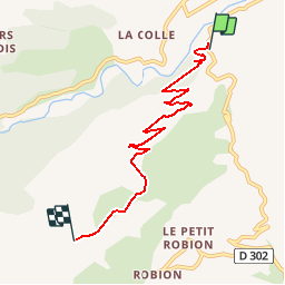

3.8 km | 5.5 km-effort


User


FREE GPS app for hiking
 SityTrail
IGN / Geographical institutes
SityTrail World
The world is yours!
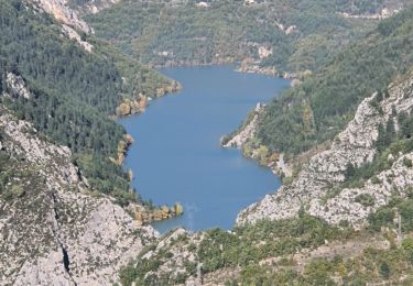
Trail Walking of 6 km to be discovered at Provence-Alpes-Côte d'Azur, Alpes-de-Haute-Provence, Castellane. This trail is proposed by jmheydorff.
départ pkg sur RD 102, 1 km au sud de castellane.
AR facile à trouver, sans difficulté

Walking

Walking
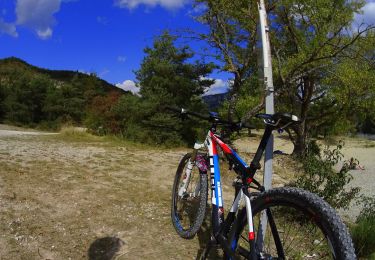
Mountain bike

Walking
Walking
Walking
Walking
Walking

Walking
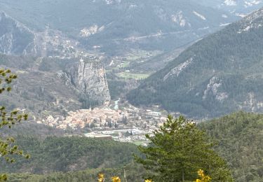
très belle ballade. Une vue Superbe sur les Alpes