


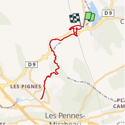


13 km | 15.4 km-effort


User


FREE GPS app for hiking
 SityTrail
IGN / Geographical institutes
SityTrail World
The world is yours!
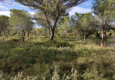
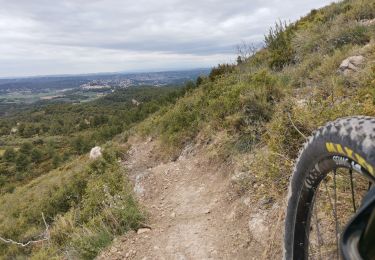
Trail Walking of 17.2 km to be discovered at Provence-Alpes-Côte d'Azur, Bouches-du-Rhône, Cabriès. This trail is proposed by coureurdegarrigue.
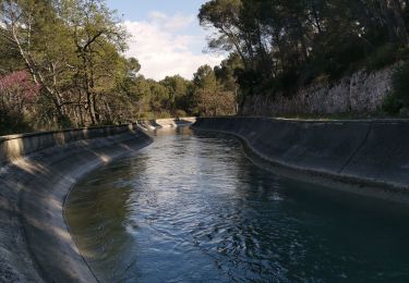
a/r à la source de l'Infernet au départ de la gare d'Aix TGV en suivant le GR2013

Walking
Walking

Other activity

Mountain bike
Mountain bike
Walking
Walking
Mountain bike
Mountain bike