


12 km | 18.1 km-effort


User


FREE GPS app for hiking
 SityTrail
IGN / Geographical institutes
SityTrail World
The world is yours!
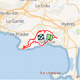
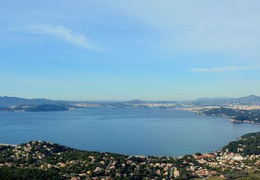
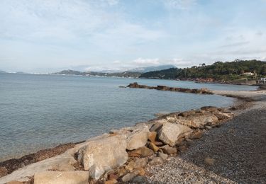
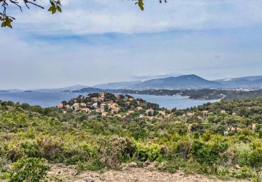
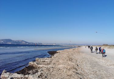
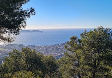
Trail Walking of 21 km to be discovered at Provence-Alpes-Côte d'Azur, Var, Carqueiranne. This trail is proposed by jmheydorff.
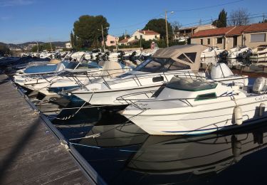
départ Pins Penchés (proche Port de Carqueiranne)
parking à l'entrée ESt de Carqueiranne, sur la RD 559, en venant de l'Almanarre
Nota: depuis Hyères, ne pas suivre les GPS qui font passer par la RD 276 et le ch. du Col de Serre (route étroite et 2 virages très serrés).
Walking

On foot
Walking
Walking
Walking
Walking
Walking
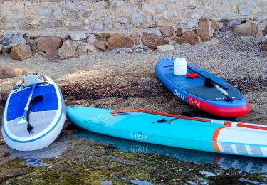
Canoe - kayak

Walking