


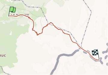

5.9 km | 10.7 km-effort


User


FREE GPS app for hiking
 SityTrail
IGN / Geographical institutes
SityTrail World
The world is yours!
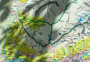
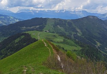
Trail Walking of 13.6 km to be discovered at Auvergne-Rhône-Alpes, Upper Savoy, Saint-Gervais-les-Bains. This trail is proposed by Sodoyer.
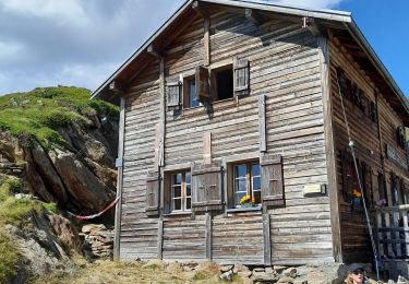
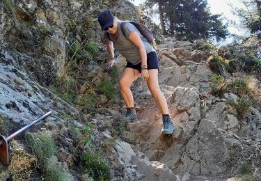
Par Tête Rousse et le Goûter

Walking
Walking
Walking
Walking
Walking
Walking
Walking

Walking
Walking