


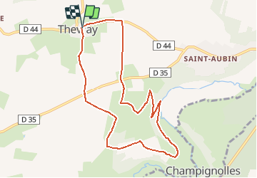

10.3 km | 11.9 km-effort


User


FREE GPS app for hiking
 SityTrail
IGN / Geographical institutes
SityTrail World
The world is yours!
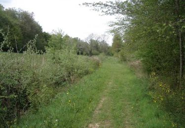
Trail Walking of 8.8 km to be discovered at Normandy, Eure, Mesnil-en-Ouche. This trail is proposed by dominiquelaudou.
le souillard,
le petit harcourt
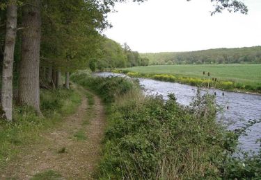
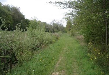
Walking

Walking

Walking

Walking


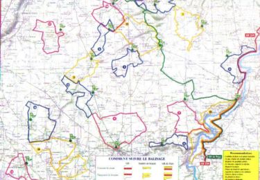
Mountain bike
Walking
Mountain bike
Walking