


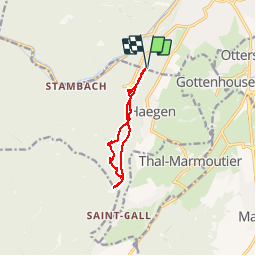


15.4 km | 19.9 km-effort

User


FREE GPS app for hiking
 SityTrail
IGN / Geographical institutes
SityTrail World
The world is yours!
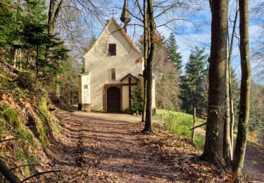
Trail Walking of 9.3 km to be discovered at Grand Est, Bas-Rhin, Saverne. This trail is proposed by VacheKiri67.
Distance 9,3km - Dénivelée 260m.
Balisage : croix rouge - rectangle rouge.
Faite le 21/04/2013 en 3h30 (dont 0h40 de pauses) avec notre fils de 8 ans.
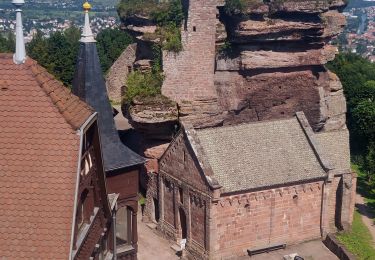
Plus de détails : Guide Rother Alsace N°13 page 58 : Les châteaux dominant Saverne.


Walking
Mountain bike
Walking
Walking
Walking

Walking
Walking
Walking
Walking
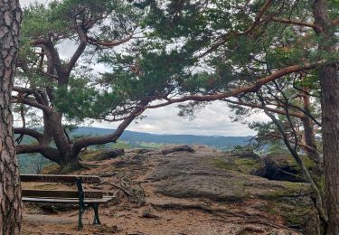
Une balade avec de nombreuses curiosités variées ! De nombreuses pauses sont faites pour les admirer. Ne pas oublier à la fin de visiter le château du Haut-Barr et ses promontoirs.