


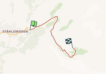

4.4 km | 12.8 km-effort


User


FREE GPS app for hiking
 SityTrail
IGN / Geographical institutes
SityTrail World
The world is yours!
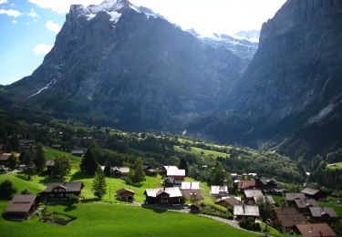
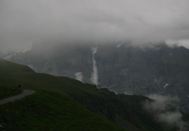
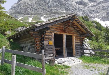
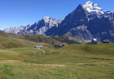
Trail Other activity of 4.4 km to be discovered at Bern, Interlaken-Oberhasli administrative district, Grindelwald. This trail is proposed by pnoth.
English: http://www.noth.ch/h0202_e.html
Français: http://www.noth.ch/h0202_f.html
Deutsch: http://www.noth.ch/h0202_d.html
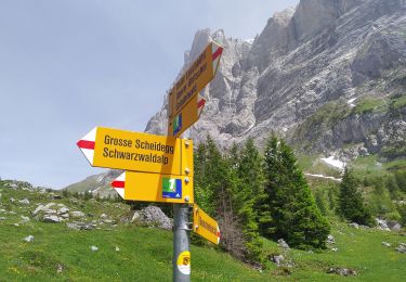
On foot
On foot
On foot
On foot
On foot
On foot
On foot
On foot
Walking