


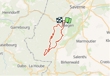

15.4 km | 19.9 km-effort


User


FREE GPS app for hiking
 SityTrail
IGN / Geographical institutes
SityTrail World
The world is yours!
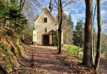
Trail Walking of 23 km to be discovered at Grand Est, Bas-Rhin, Haegen. This trail is proposed by markrei.
La table des sorcières-Tour du Brostch-Grotte du Brotsch-Schaeferplatz-Rocher du Hibou-Geissfels-Haberacker-Ochsenstein-Schlossberg-Krappenfels-Wuestenberg-Pierr des Druides-Maisonettes de pierres-Grand Geroldseck-Petit Geroldseck-La table des sorcières
Guide : Julien Einhorn Club Vosgien Soultz/Merkwiller

Walking

Mountain bike

Walking
Walking
Walking

Walking
Walking
Walking
Walking