


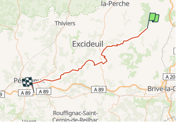


41 km | 52 km-effort


User


FREE GPS app for hiking
 SityTrail
IGN / Geographical institutes
SityTrail World
The world is yours!
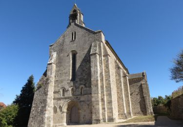
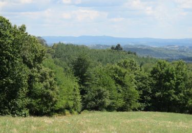
Trail Cycle of 81 km to be discovered at New Aquitaine, Corrèze, Arnac-Pompadour. This trail is proposed by FERAUD.
Randonnée cyclotrufiste 2013
Running

Mountain bike

Walking
Walking
On foot
Walking
Walking

Quad
Walking