


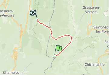

14.2 km | 27 km-effort


User


FREE GPS app for hiking
 SityTrail
IGN / Geographical institutes
SityTrail World
The world is yours!
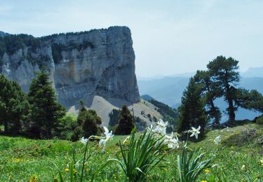
Trail Walking of 13.9 km to be discovered at Auvergne-Rhône-Alpes, Isère, Gresse-en-Vercors. This trail is proposed by frizou83.
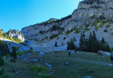
Départ Cabane de Pré Peyret vers le plaine de la Queyrie.
Arrivée à la maison forestière de la Coche

Walking
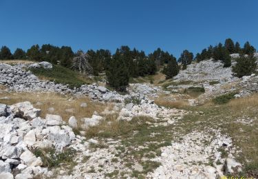
Walking
Walking

Snowshoes
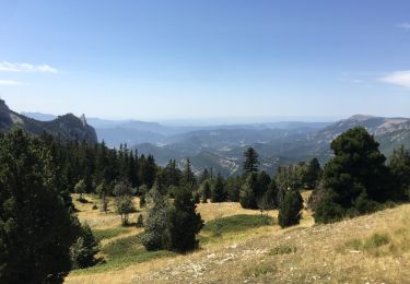
Walking
Walking
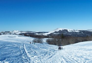
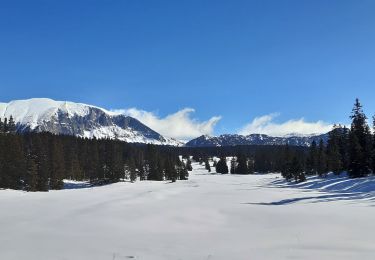
Snowshoes
Walking
Walking