


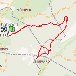

16.6 km | 24 km-effort


User


FREE GPS app for hiking
 SityTrail
IGN / Geographical institutes
SityTrail World
The world is yours!
Trail Walking of 13.7 km to be discovered at Auvergne-Rhône-Alpes, Savoy, Pugny-Chatenod. This trail is proposed by patpounet73.
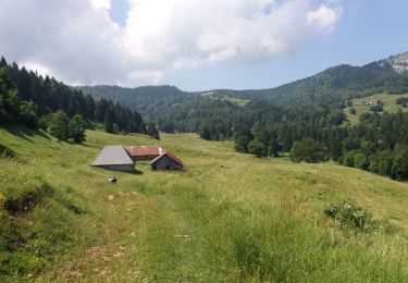
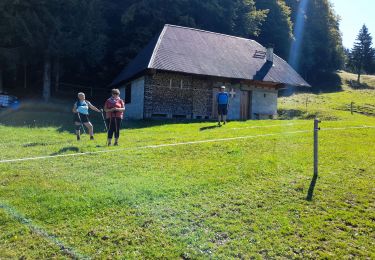
Rando qui emprunte les ouvrages de l'ancien chemin de fer à crémaillère avec passage sur un viaduc et sous un tunnel (pas d''équipements spéciaux nécessaires).Final avec superbe vue sur le lac du Bourget et panorama sur les massifs environnants Possibilité de se restaurer au sommet (restaurants).
Walking

Walking

Electric bike

Walking
Walking
Walking

Walking
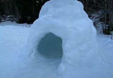
Snowshoes
Walking
raide, casse.... par temps humide, mais superbe circuit.
facile mais pente monotone, aucune vue sauf au sommet.