


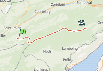

5.6 km | 12.2 km-effort


User


FREE GPS app for hiking
 SityTrail
IGN / Geographical institutes
SityTrail World
The world is yours!
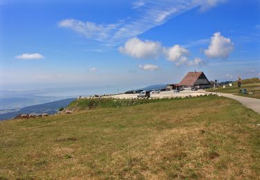
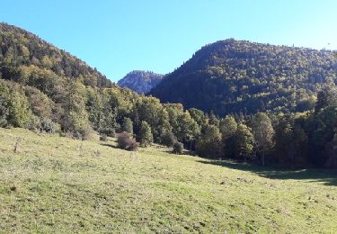
Trail Other activity of 15.2 km to be discovered at Bern, Bernese Jura administrative district, Saint-Imier. This trail is proposed by bayardpaul.
Baden - Untersiggenthal - Villingen
On foot
On foot
On foot
On foot

On foot
Walking
Other activity

Walking
Walking