


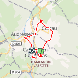

15 km | 26 km-effort

User


FREE GPS app for hiking
 SityTrail
IGN / Geographical institutes
SityTrail World
The world is yours!
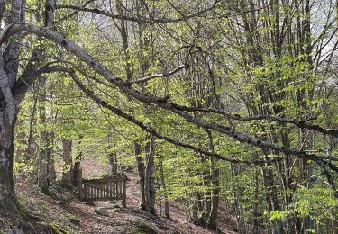
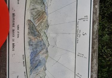
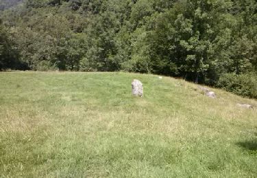
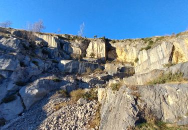
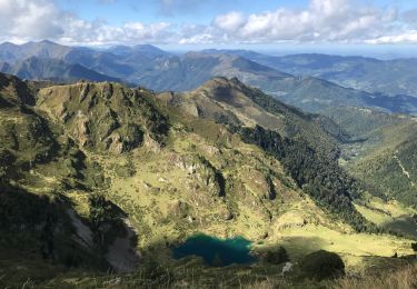
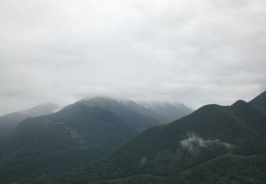
Trail Walking of 7.4 km to be discovered at Occitania, Ariège, Castillon-en-Couserans. This trail is proposed by counoise.
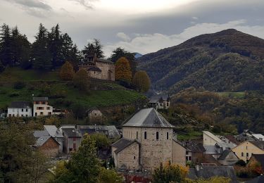
Découvrez un village du Couserans surmonté par un joli calvaire.

Walking
Walking
Walking
Walking
Walking
Walking
On foot
Walking